
Park visit: July 21-24, 2019
DAY ONE: ASH RIVER TO AGNES LAKE

Our canoe route from Ash River visitor center, up Lost Bay, and the short hike to Agnes Lake.
Finally getting to Voyageurs National Park felt like a major accomplishment. It was my third attempt at trying to get here. The first was in 2011 on a winter ice fishing trip with my brother and his friends to Lake of the Woods, about two hours west of Voyageurs. To get to Lake of the Woods we had to drive right past the entrance to Voyageurs. I asked about stopping, but the trip was all planned out already by other people. I was just along for the ride. Seeing the park sign and not stopping was tough. I justified it by telling myself it was February, bitter cold, and options in the park would have been extremely limited.
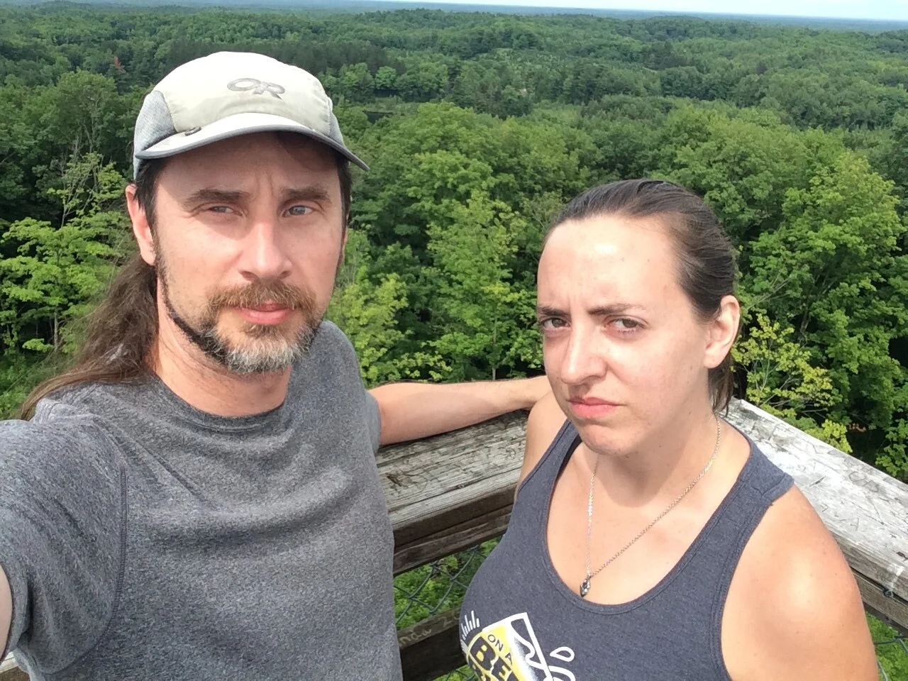
Gwynn and I at the top of summit tower of Timm’s Hill on our way to Voyageurs.
My next attempt was summer of 2014 when I had planned to visit the park, along with the highpoint of Minnesota, Eagle Mountain, on my way to my annual highpointers convention in Iowa. I had a couple campsites reserved, my kayak rental was set, and I was going to explore the park for a few days. Then a month before that trip was to start, I was in a mountain biking accident and broke my collarbone. I had surgery to fix it just a few weeks before the trip. It’s hard to paddle a kayak or carry a pack with only one good shoulder, so I made the decision to scrap the whole Minnesota leg of my trip. My bandages didn’t come off until the day I left for Iowa and I still had a very limited range of motion in my right arm. I wore button up shirts for weeks because I couldn’t even put on a t-shirt. That was disappointing.
I finally had success in 2019 when I once again planned to visit Voyageurs and Eagle Mountain as part of a week-long highpoint convention trip. This time I would have company. My fellow highpointing friend, Gwynn, would be coming along. We had previously done a national park/highpoint road trip the year before and had an excellent time. Check out our trip to Great Sand Dunes National Park. I picked her up in Madison, Wisconsin, and hit the road. On our way to the park, we bagged Timm’s Hill, the highpoint of Wisconsin.
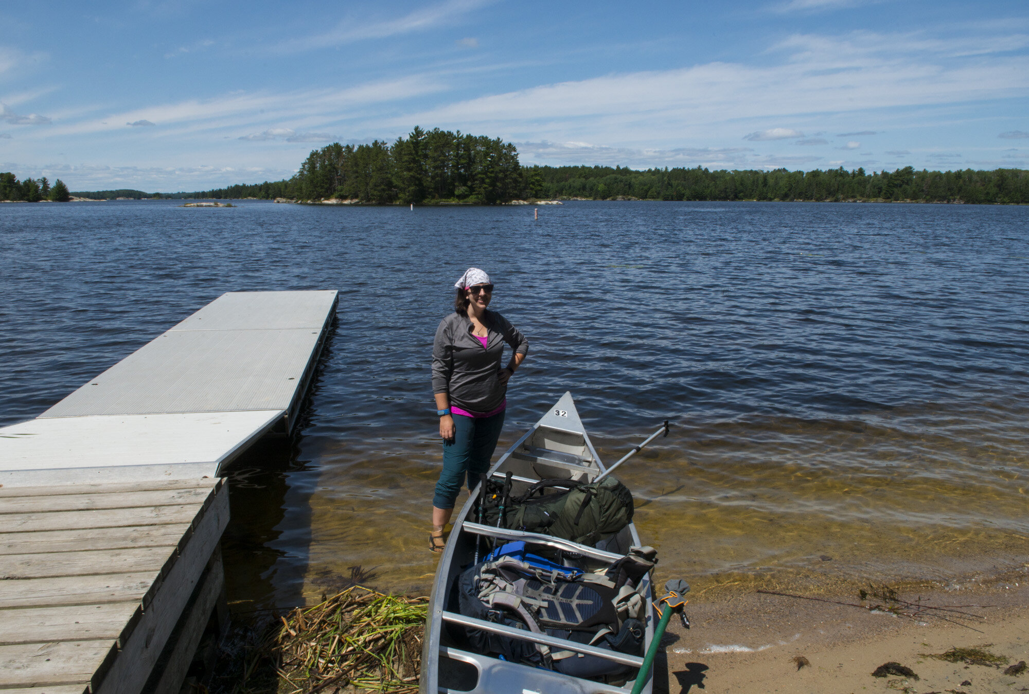
The next day we arrived at the park. Our first stop was to pick up our canoe rental at Northern Lights Resort, on the west side of Kabetogama Lake. They supply the boat, oars, and life jackets. You can start your trip and put in right there at the resort, but since we were putting in at the Ash River visitor center, we had to lash it to the roof of my car and drive it the 20 miles over there.

Gwynn and I paddling through Lake Kabetogama to our first campsite.
Once at Ash River, we stopped in the visitor center to buy our souvenirs while we knew the gift shop was open and checked in with the ranger. It’s not required to check in, but it’s always good practice, in case there is any last minute info they might have and just to make them aware that you’ll be in the park.
Once we got the canoe in the water, got our gear loaded, and made use of the last bathroom we’d see for several days (sort of), we got in and shoved off. It was then that I felt I finally had made it to the park. Not another near miss, but actually in the park and doing park things!
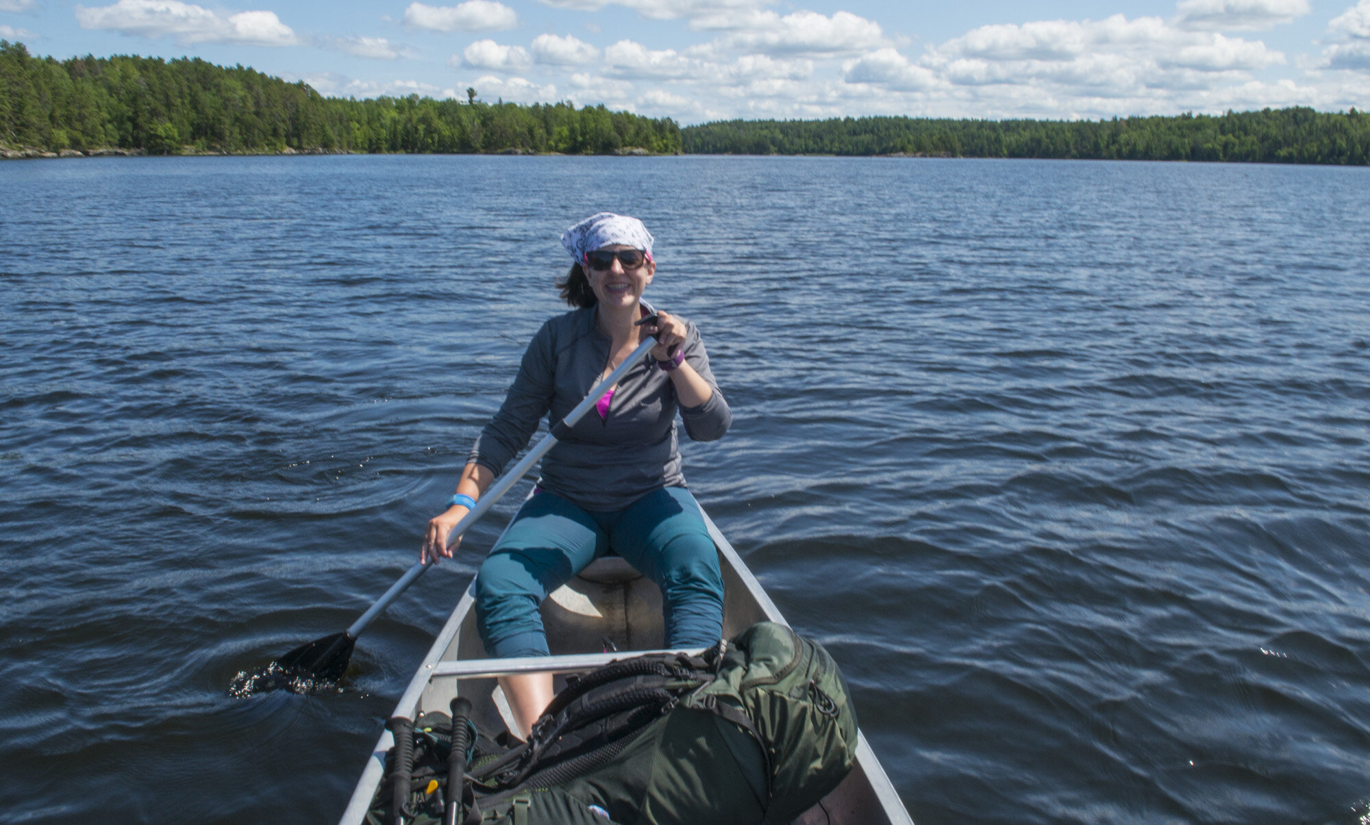
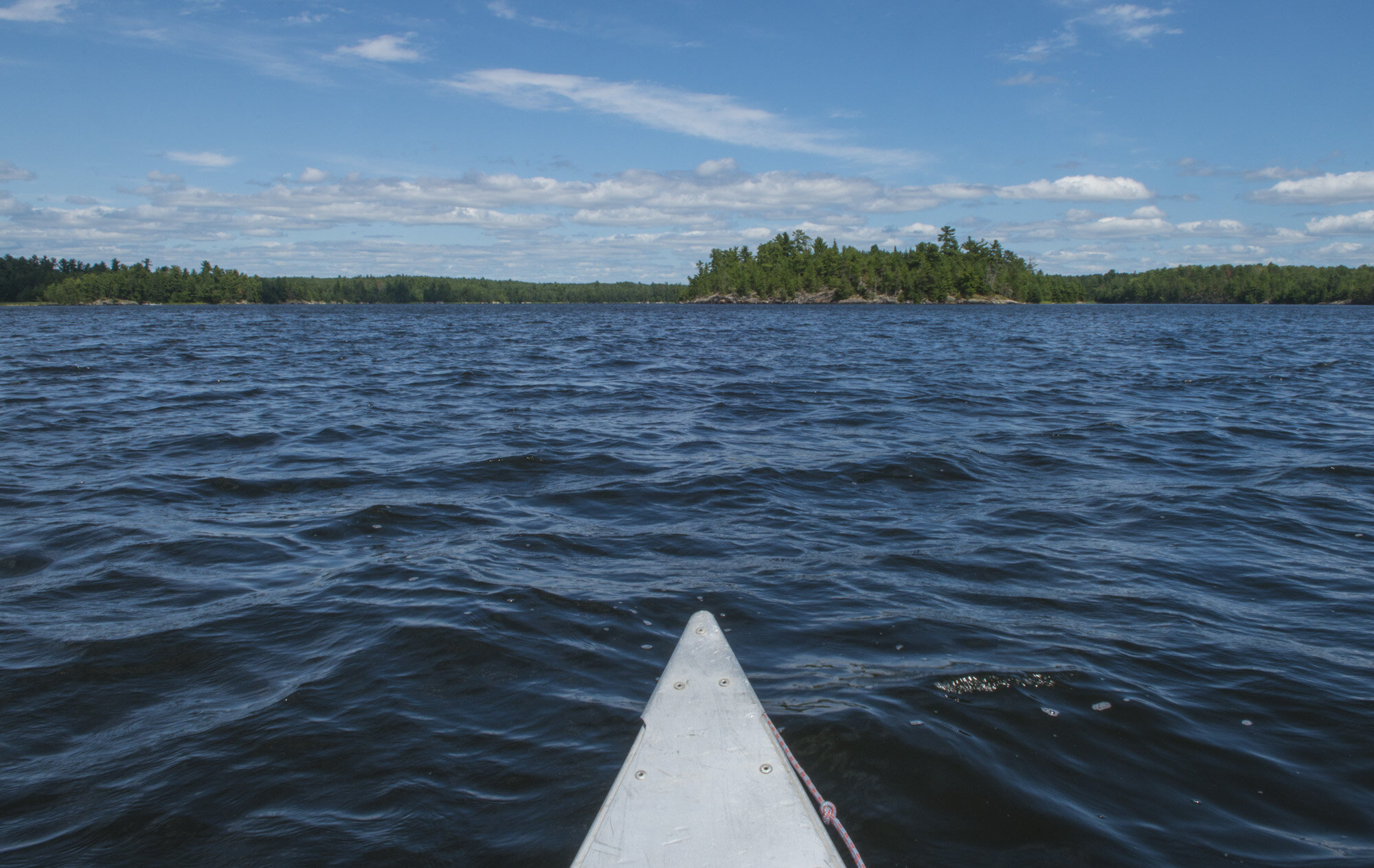
It was a beautiful day. Clear skies, a light breeze, and calm waters. I was up front and Gwynn was in the back. Apparently, manly men sit in the back since that’s where you steer from. But she recently had practiced steering a canoe before our trip and I hadn’t, so it was an obvious choice to have her do it. I was the one that had made the reservations and knew where the campsites were, so I navigated. It was a good team.
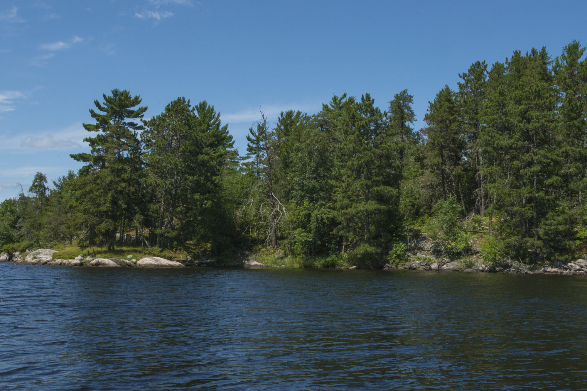
Our first destination was the campsite at Agnes Lake. From Ash River we would head in a westerly direction on Kabetogama Lake for about 2.5 miles and then take a sharp turn to the north east up to the end of Lost Bay, another 3.5 miles. From there it’d be a short half mile hike to the Agnes Lake campsite. Agnes Lake is one of over 200 campsites in Voyageurs. While there are campgrounds a short drive outside the park, there are no road accessible campgrounds inside the park. You can only get to them via watercraft, while some require a hike after you’ve gotten off your boat. Plus, all these sites are individual sites, not multiple site campgrounds. So no matter which one you choose, you won’t have any neighbors.

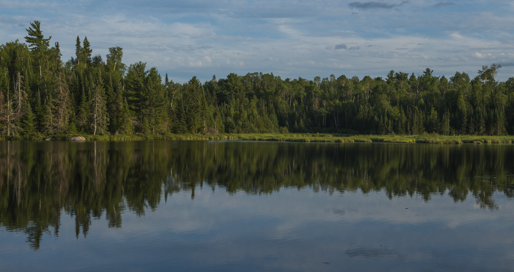
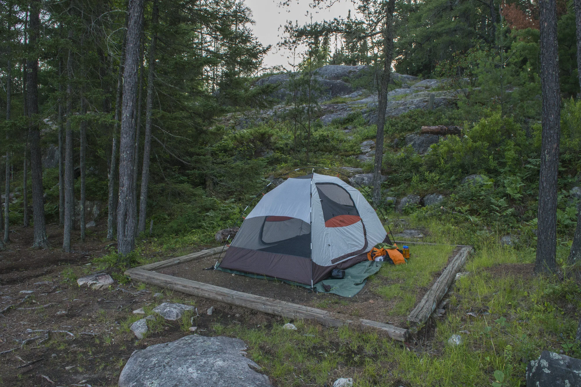
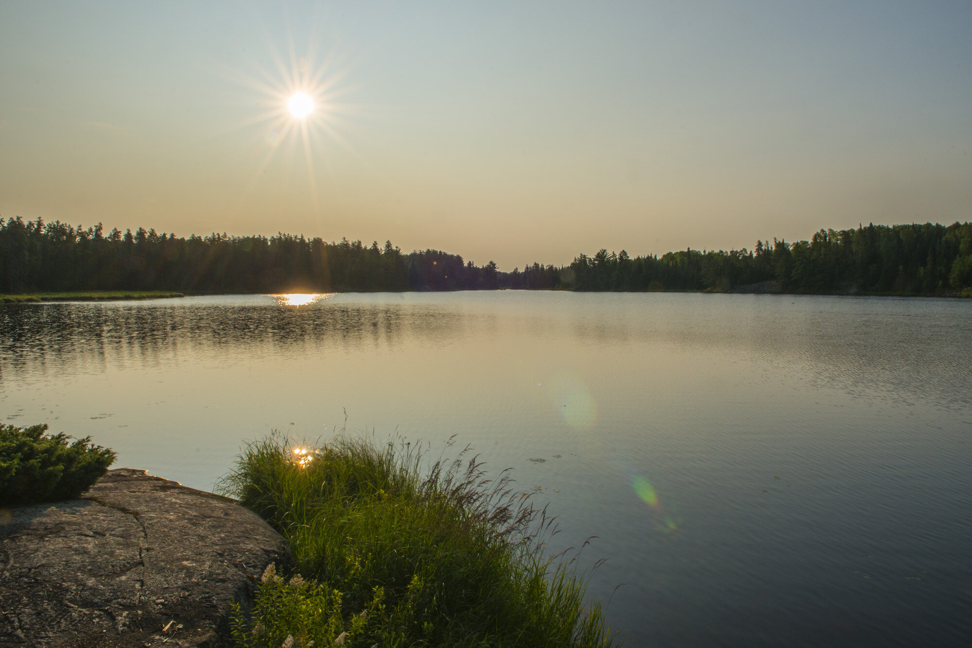
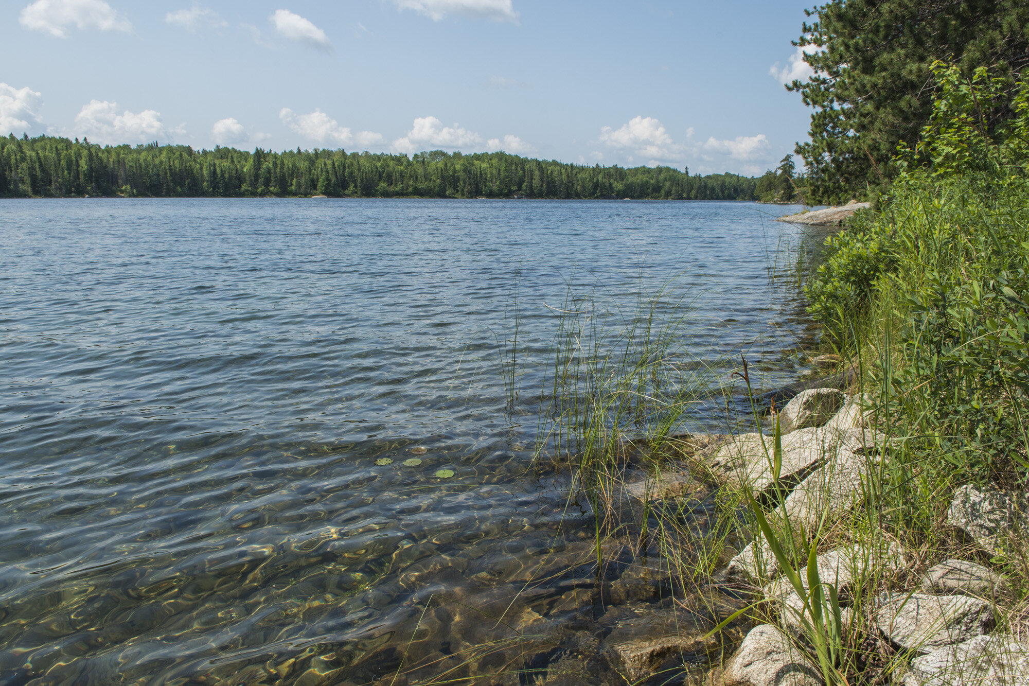
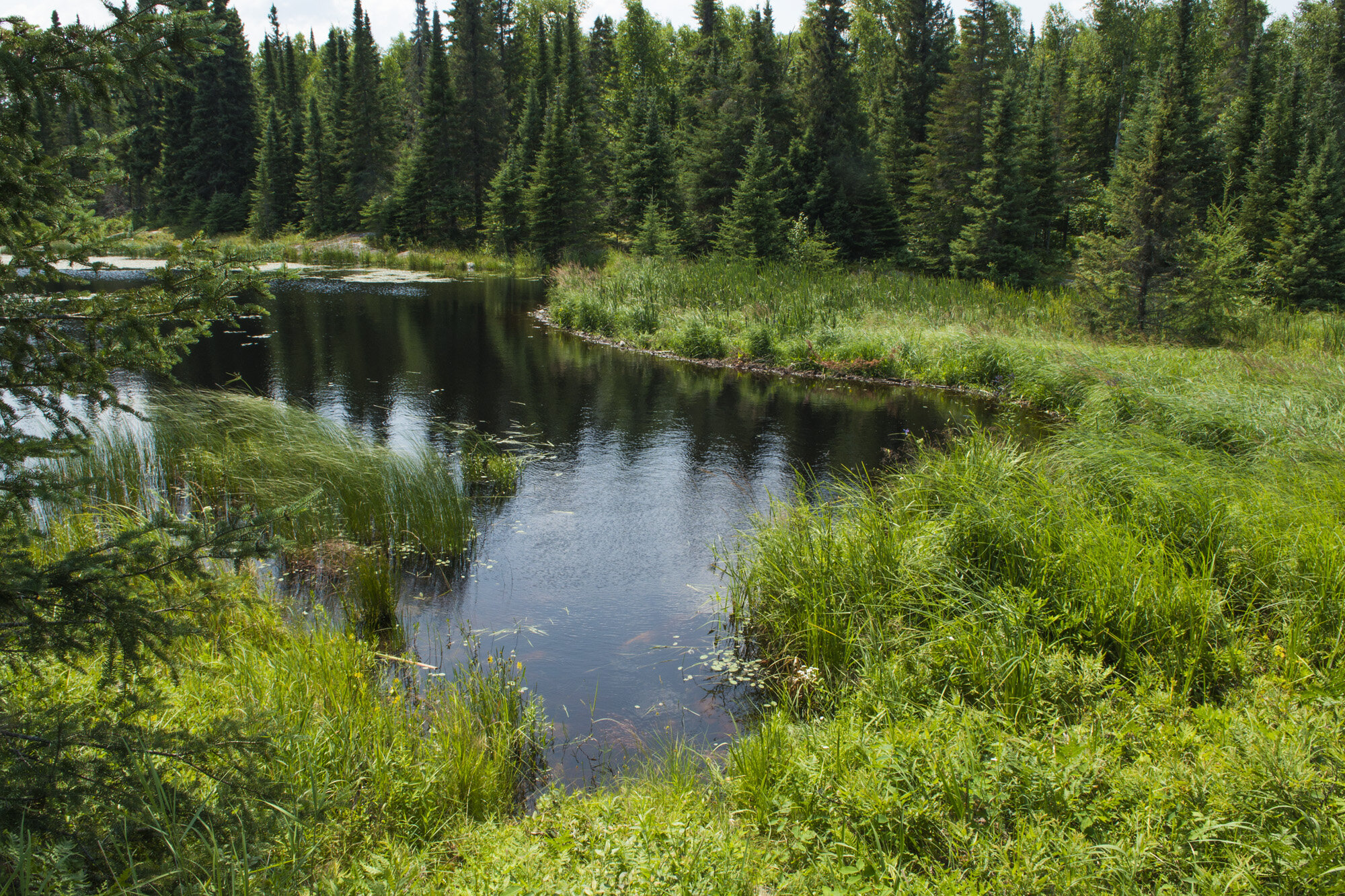
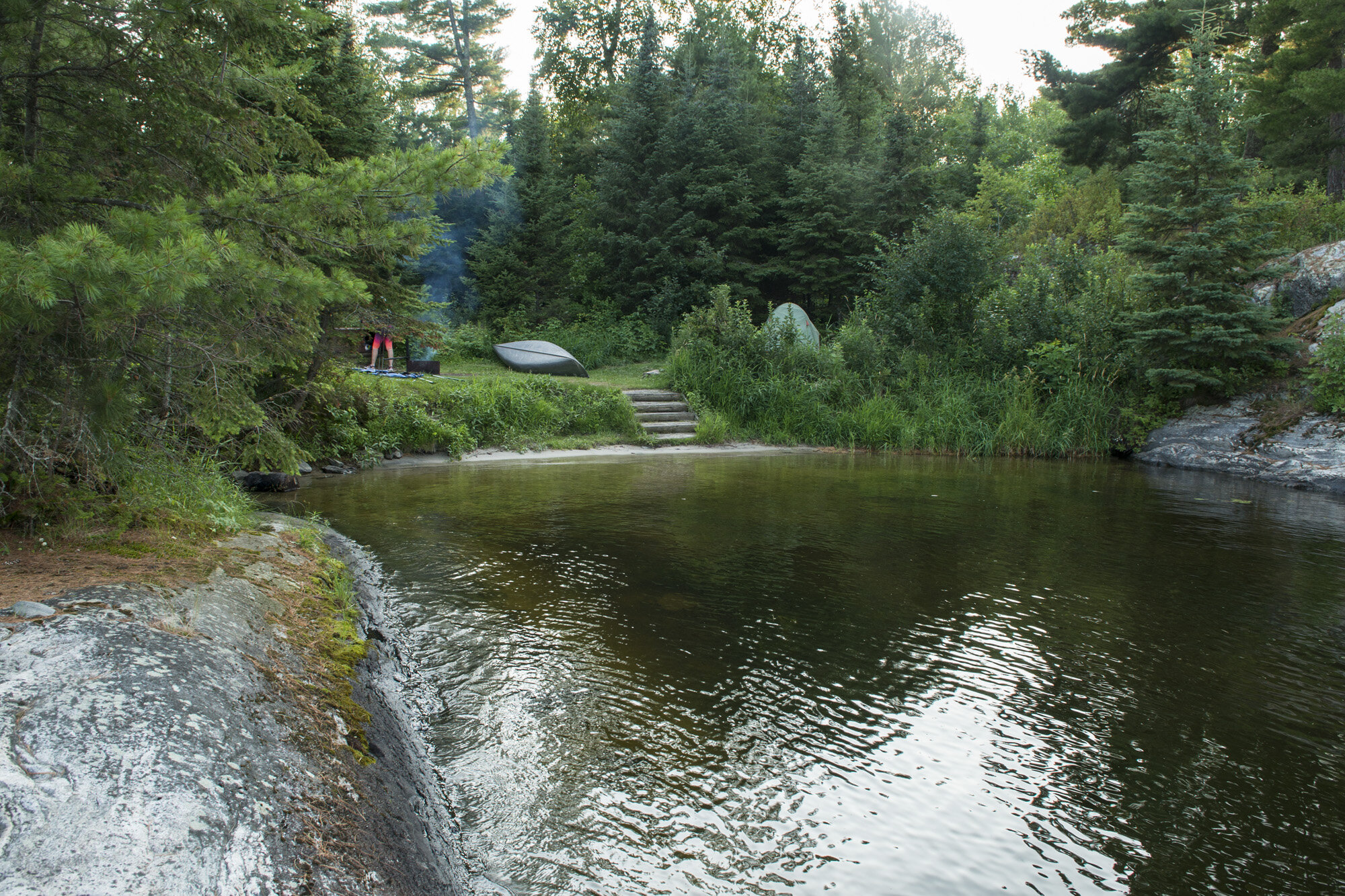
Our campsite on Agnes Lake
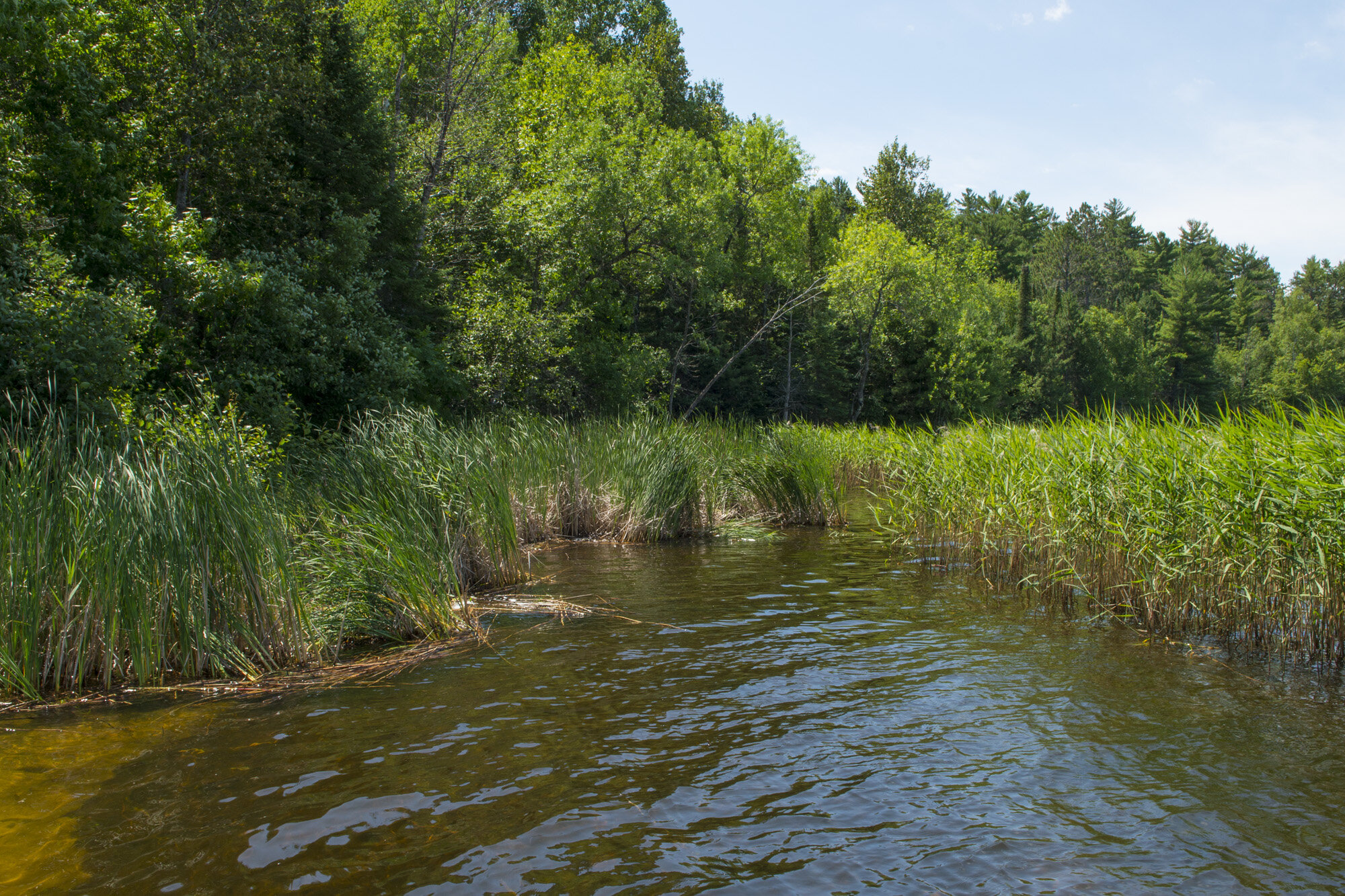
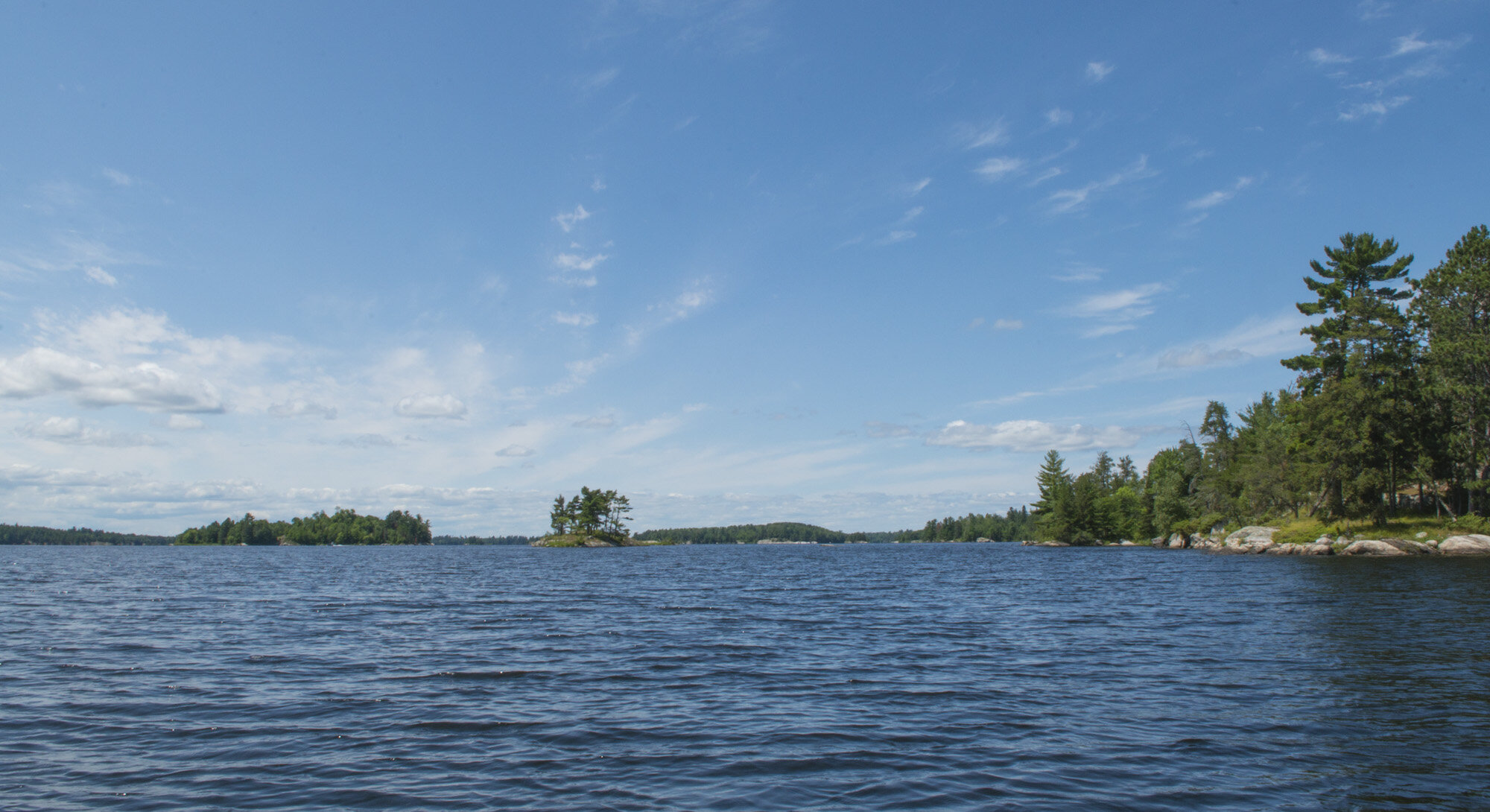
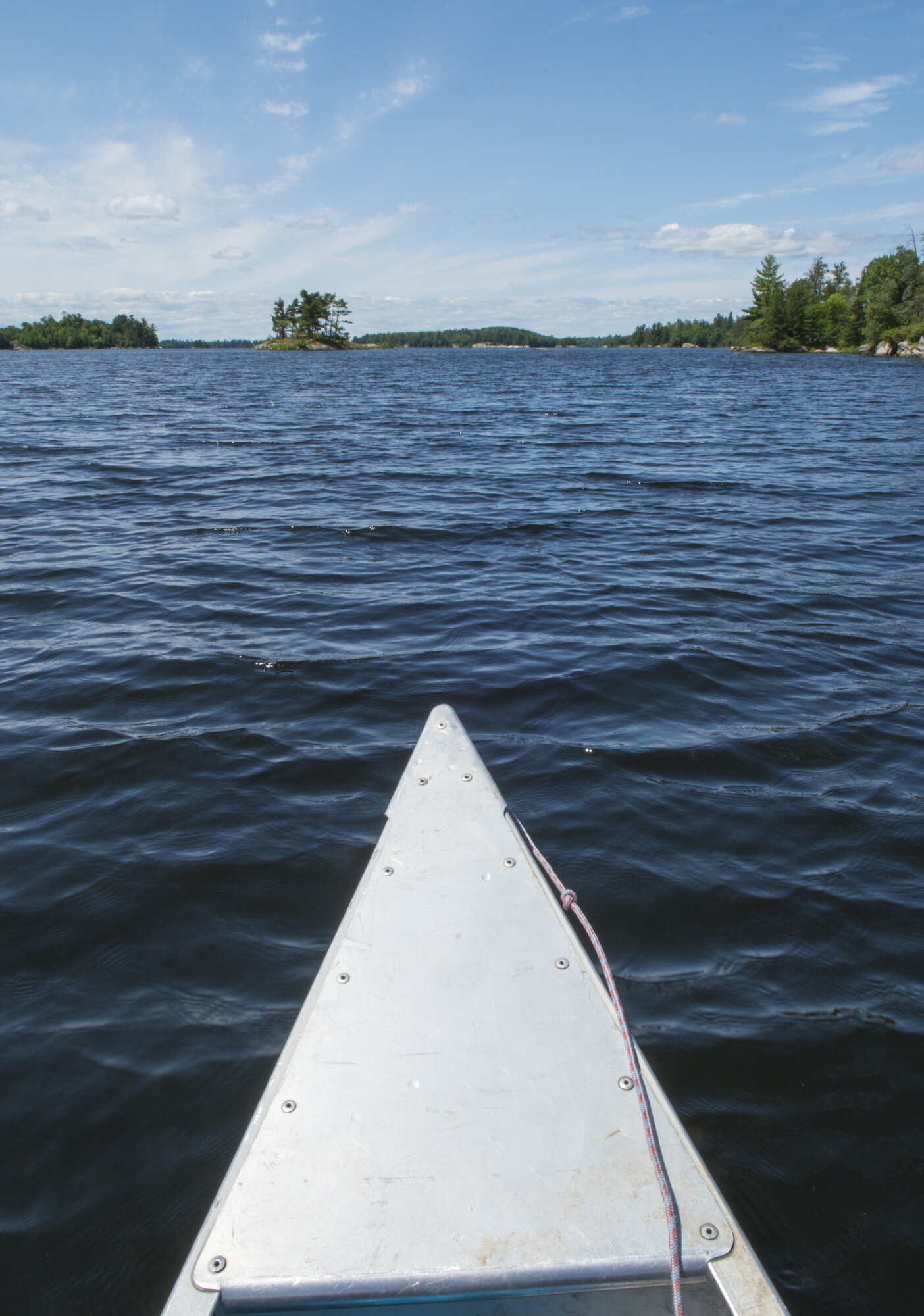
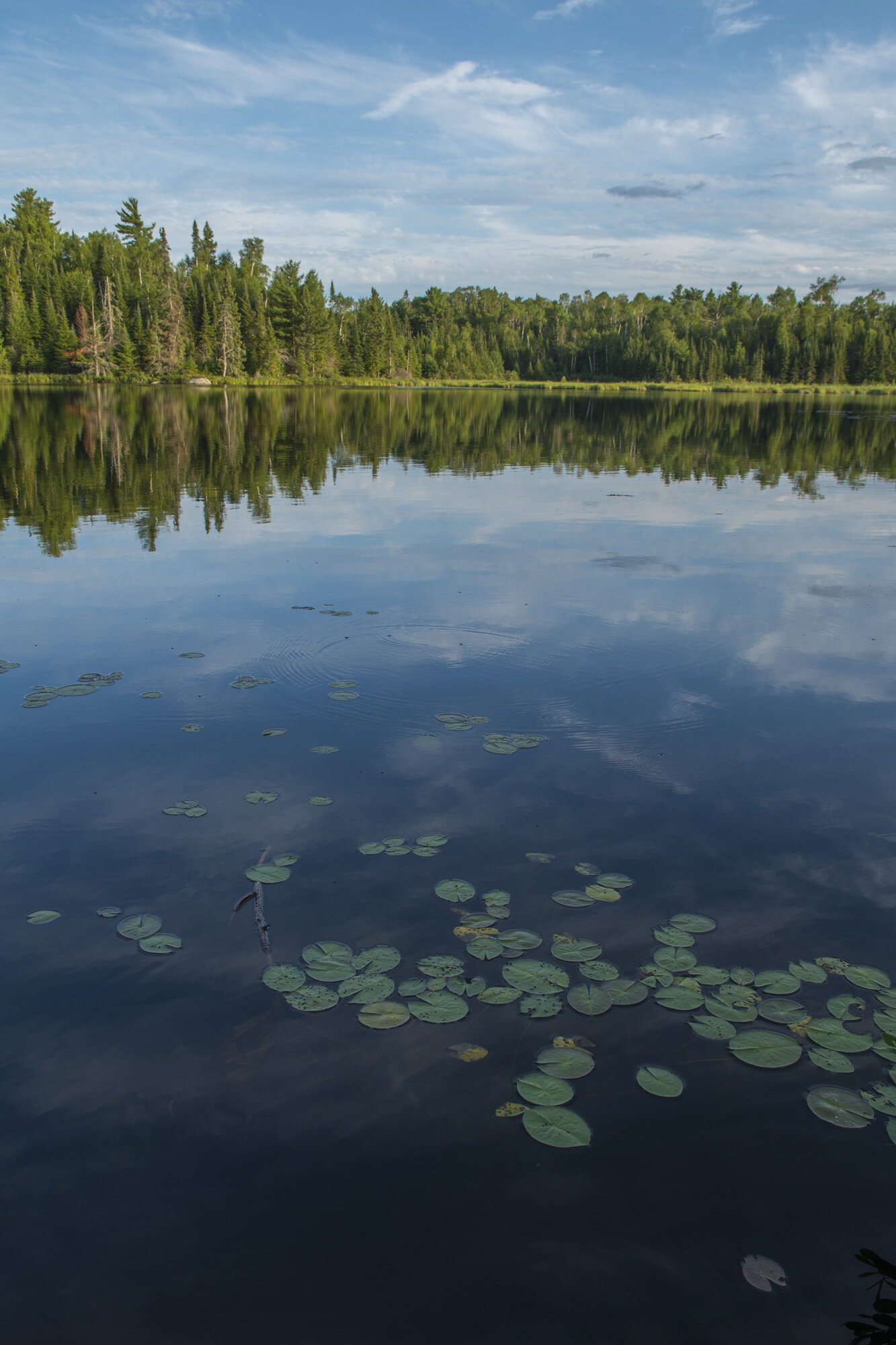
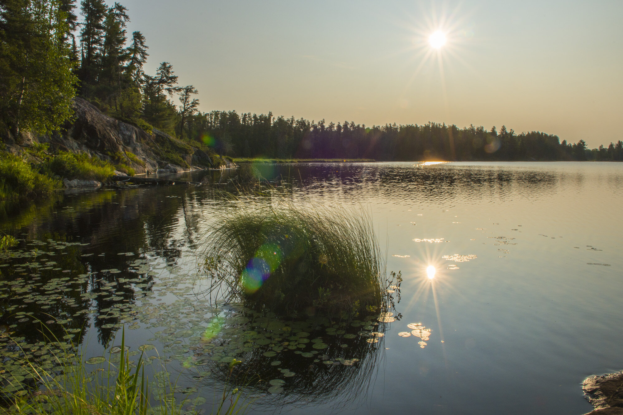
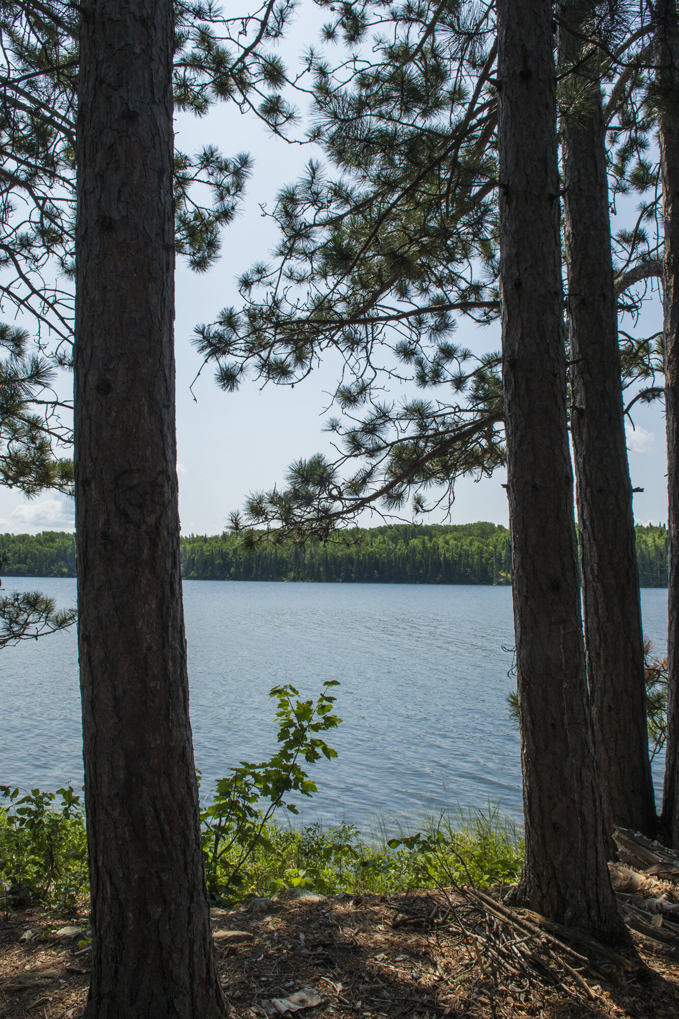
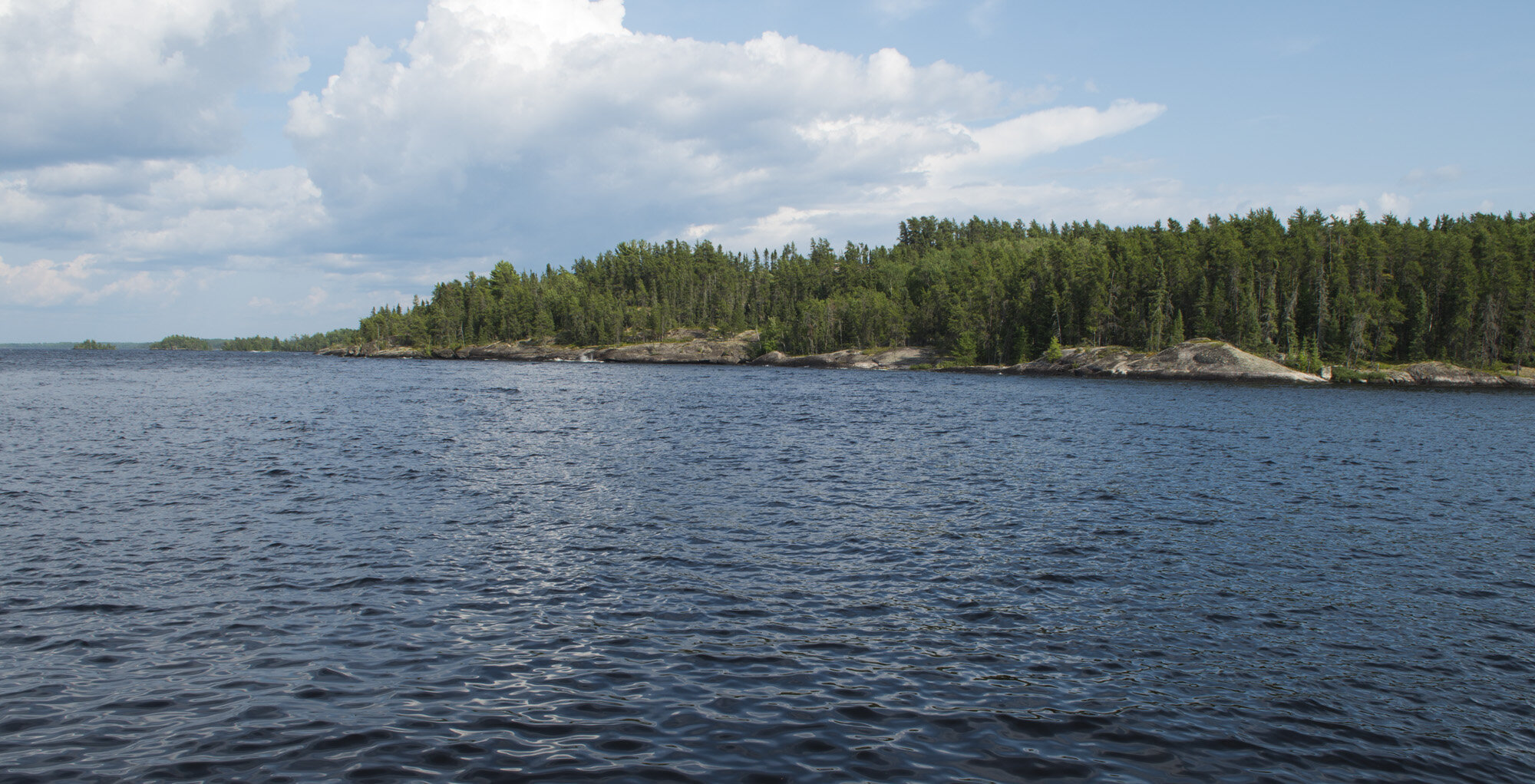
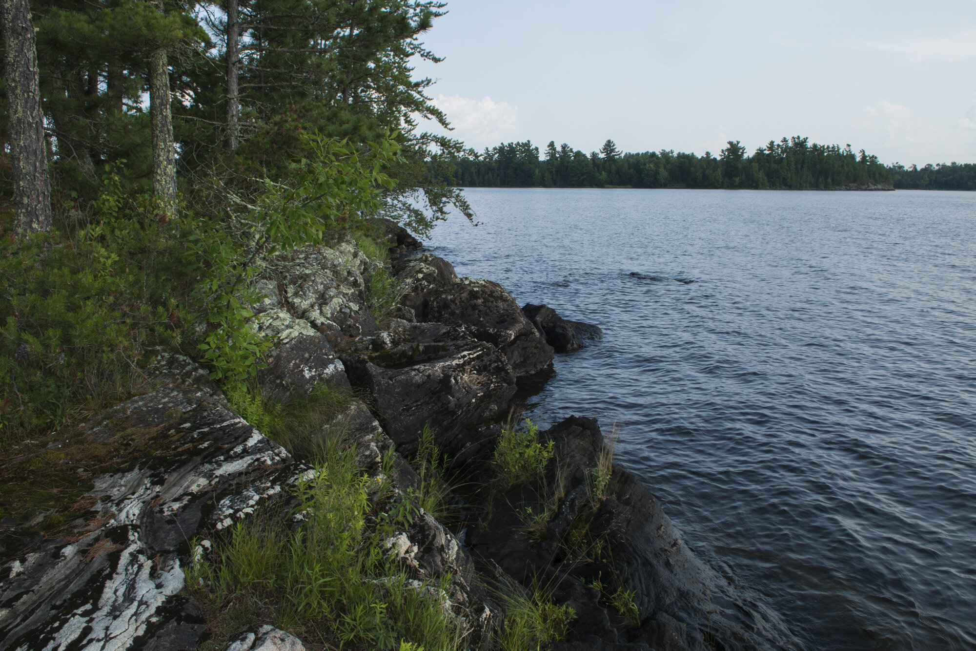
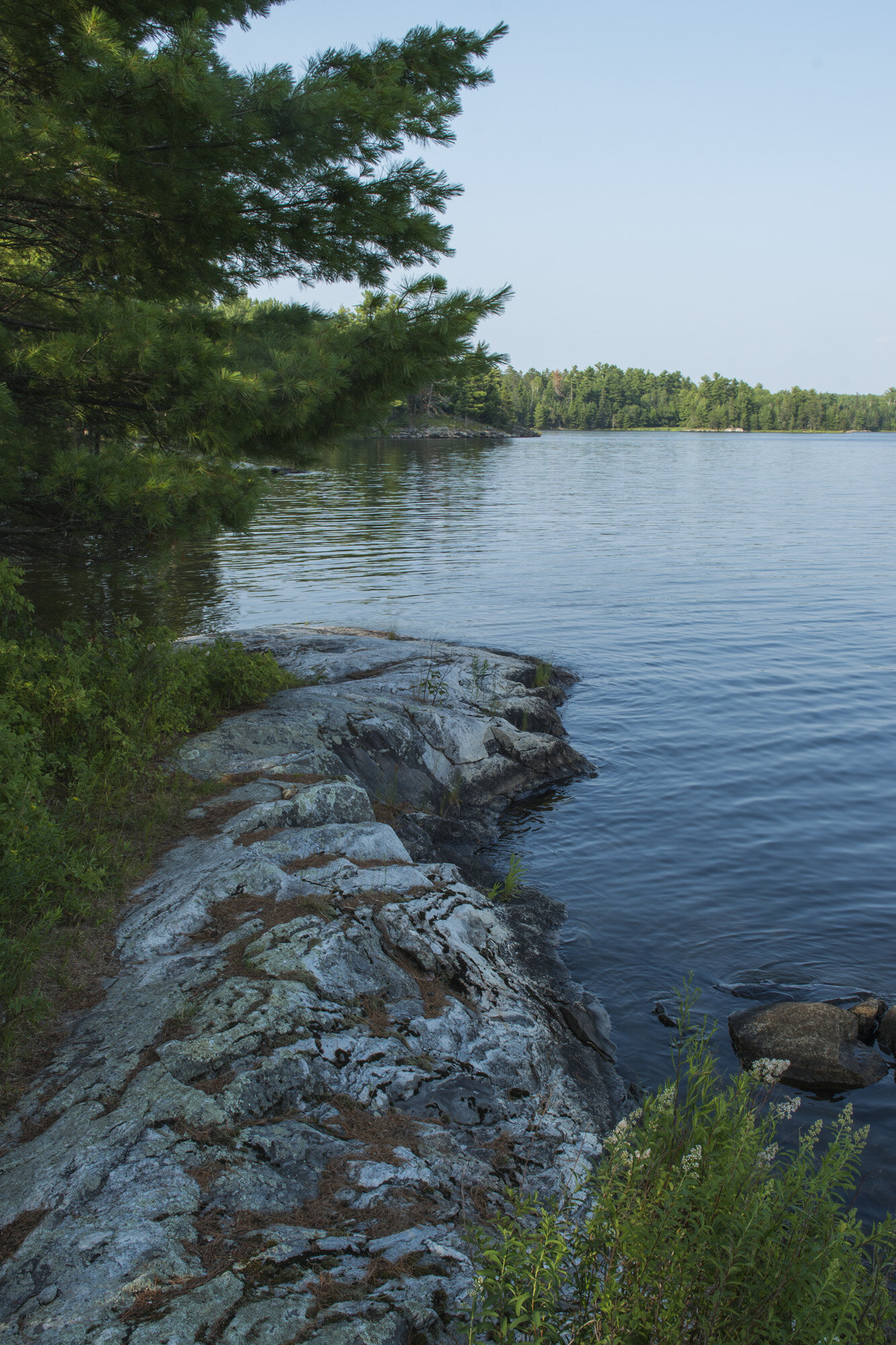
I had been doing some kayaking recently but I hadn’t been in a canoe since I was a kid. It was great. Very serene and relaxing. We took our time, enjoying the ride as we passed lush green shores and several of the small islands that dot the park. While Kabetogama Lake seemed huge, we were still at the narrower eastern end of it. The western side is much larger. Soon after entering Lost Bay, we got a preview of what would be our third and final campsite in a few nights, Eagle View. It was right on the water and looked lovely.
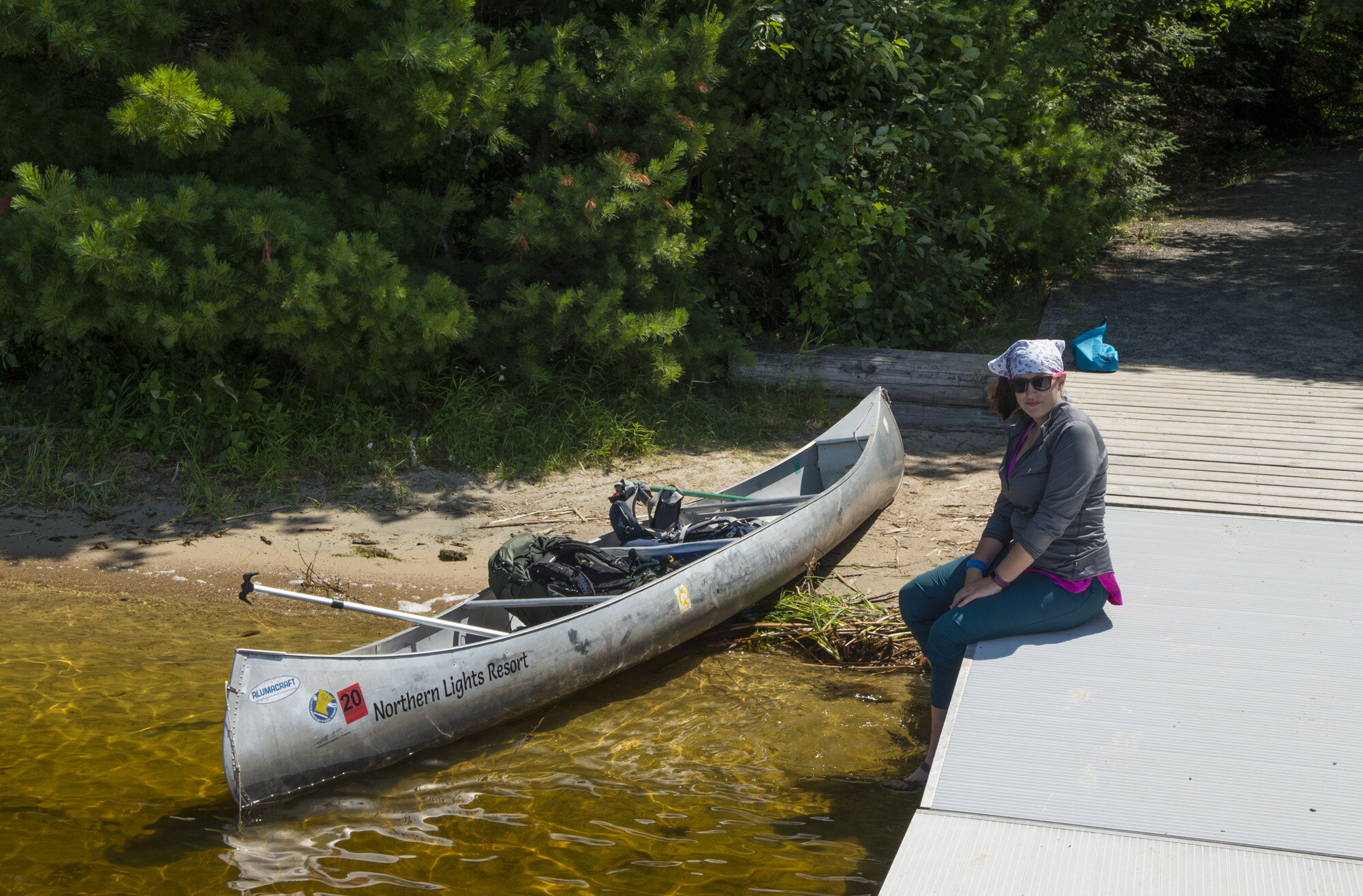
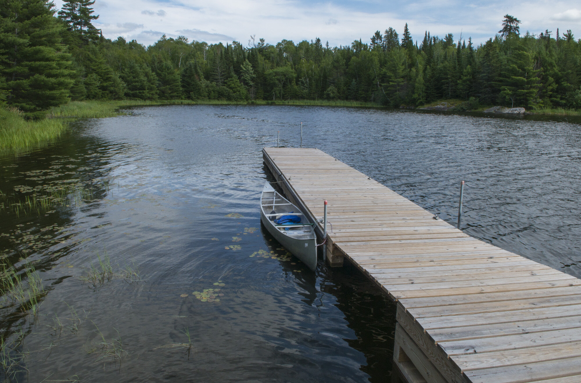
We eventually reached the end of Lost Bay where there was a small dock. I had brought my bike chain and lock so we could secure the canoe to the dock. I didn’t want it to drift away or be stolen. It was a short hike to the campsite, so I didn’t bother putting on my hiking boots. I just kept on my sandals.
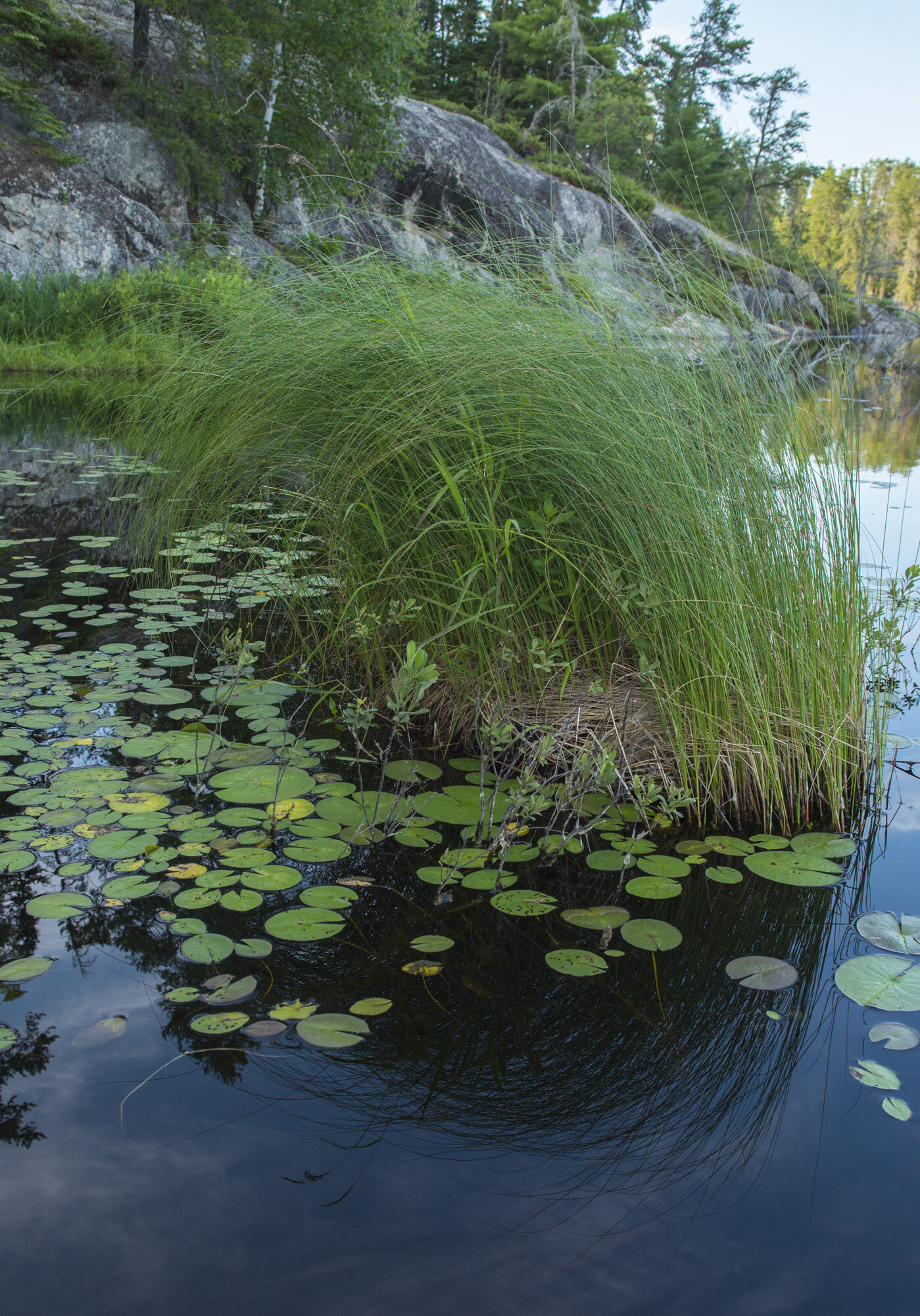
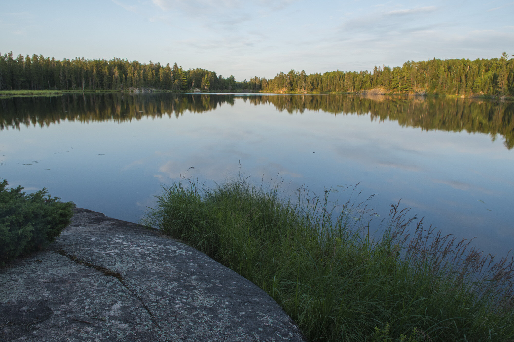
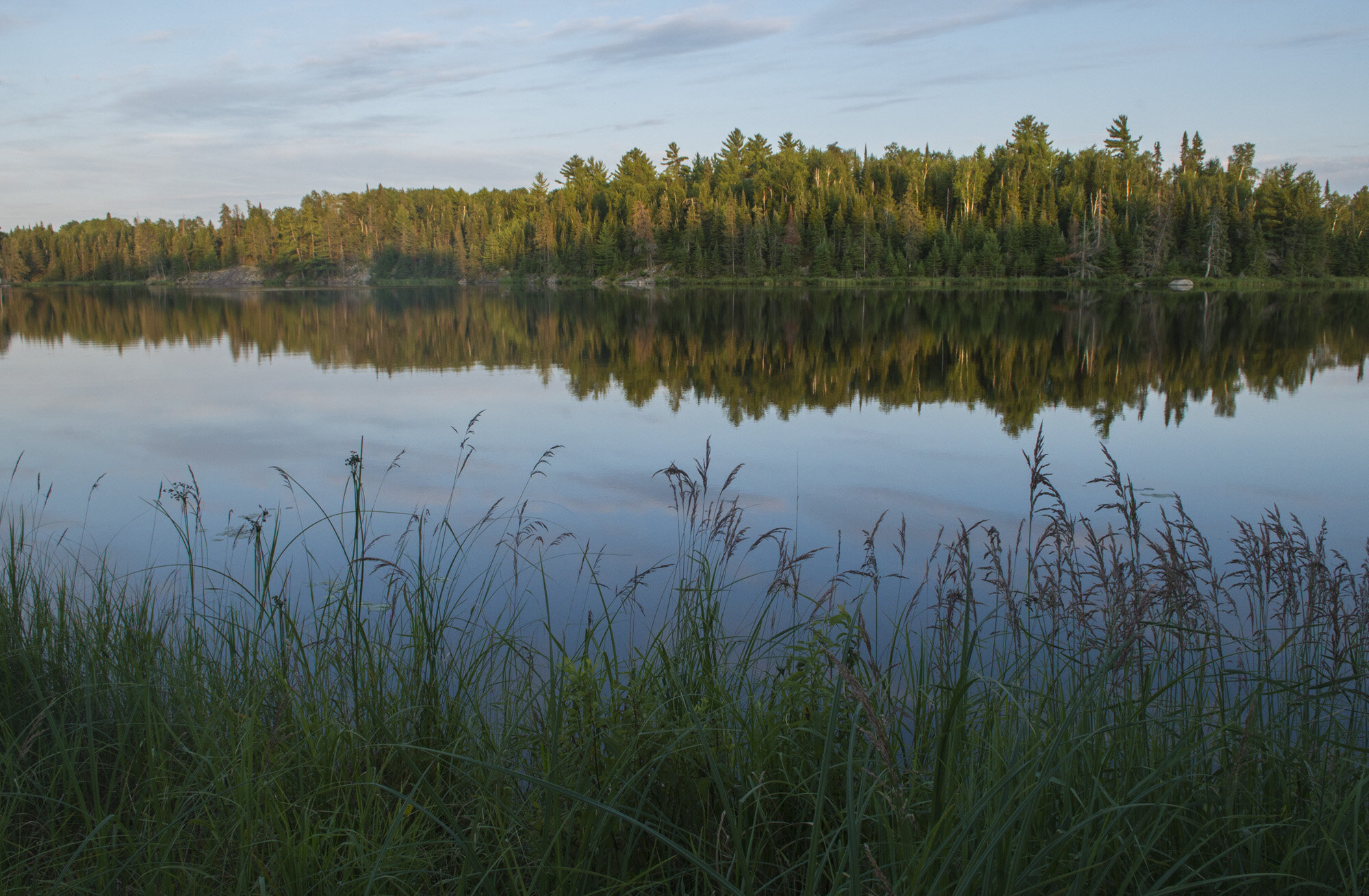
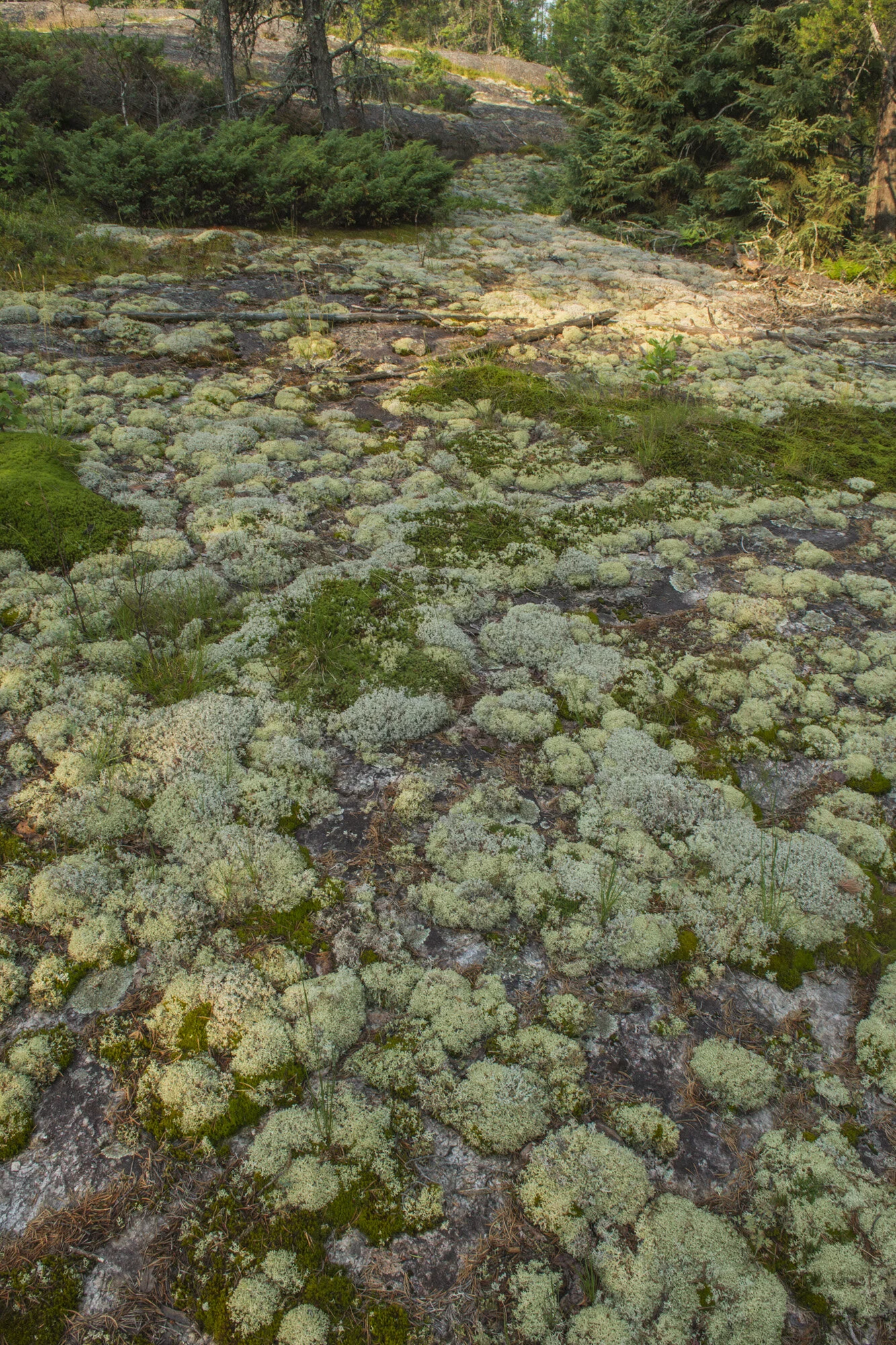
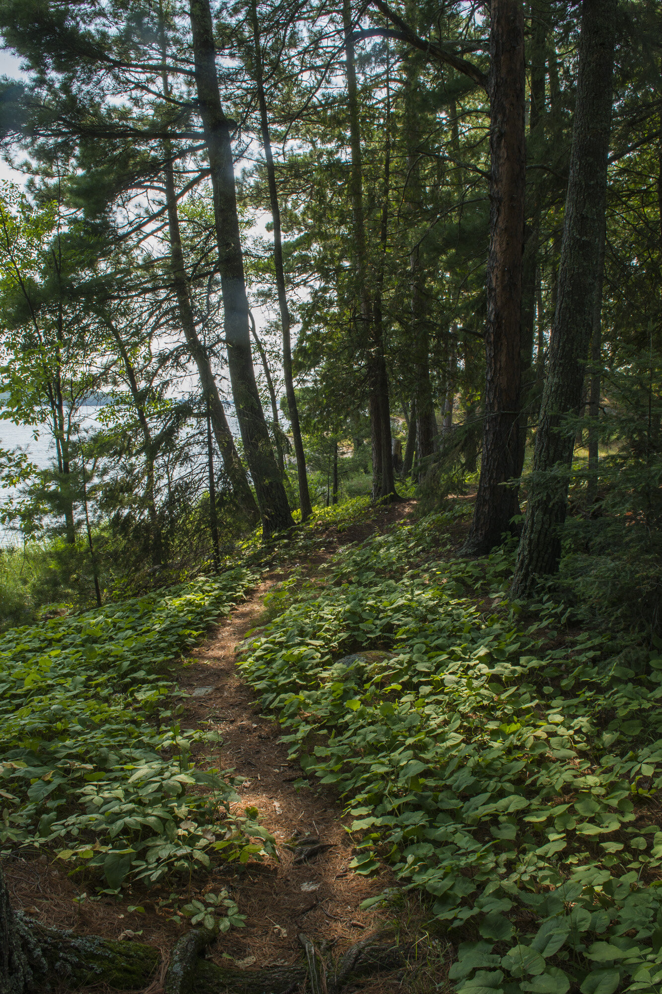
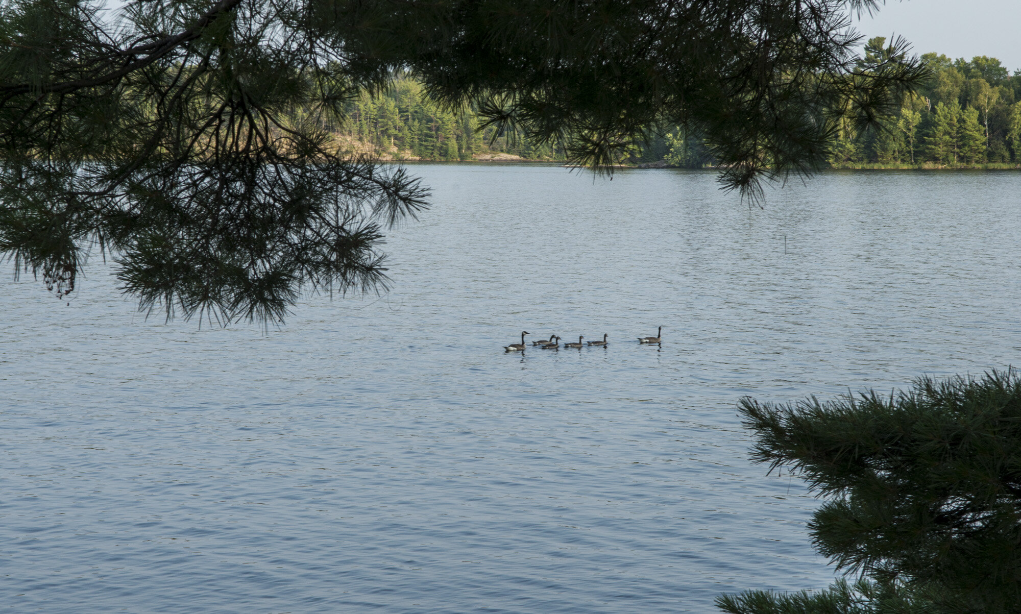
Voyageurs is a pretty flat park. The trail to Agnes Lake has a gain of only about 50 feet, with a somewhat steep drop back down to the campsite. The campsite itself is on an open slab of rock on the shore of Agnes Lake. The lake is more of a pond, less than half a mile at its widest point. And we were pleasantly surprised to discover a couple loons hanging out on the lake! We heard their tell tale calls first, and then saw them cruising around the north end of the lake.
After getting the tent and the kitchen area set up, it was time for a swim! We got our swimwear on and got in. The rock slabs under water were slimy and very slippery. Care needs to be taken when entering the water from the campsite. I kept to where I could still touch bottom, Gwynn wandered right out to the middle of the lake. Even in the middle of summer the water was cool and refreshing.
After dinner we packed it in for the night. My first day in Voyageurs was at an end, and I was just happy to finally be there.
DAY ONE PHOTO GALLERY:
DAY TWO: AGNES LAKE TO RAINY LAKE

Our hiking route from Agnes Lake to Rainy Lake via the Cruiser Lake Trail.
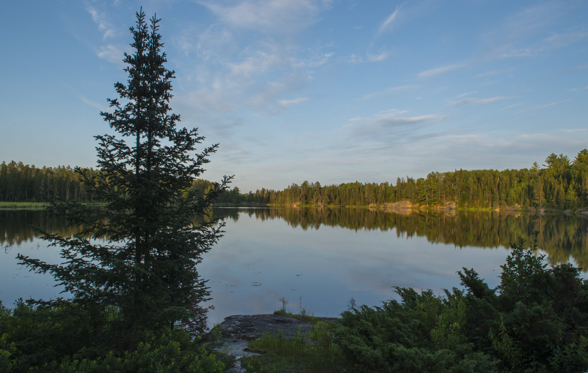
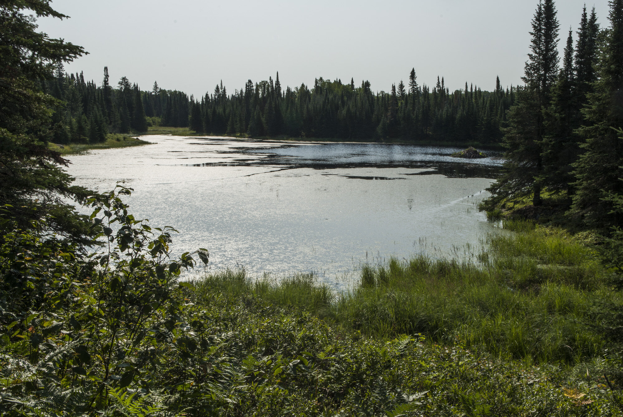
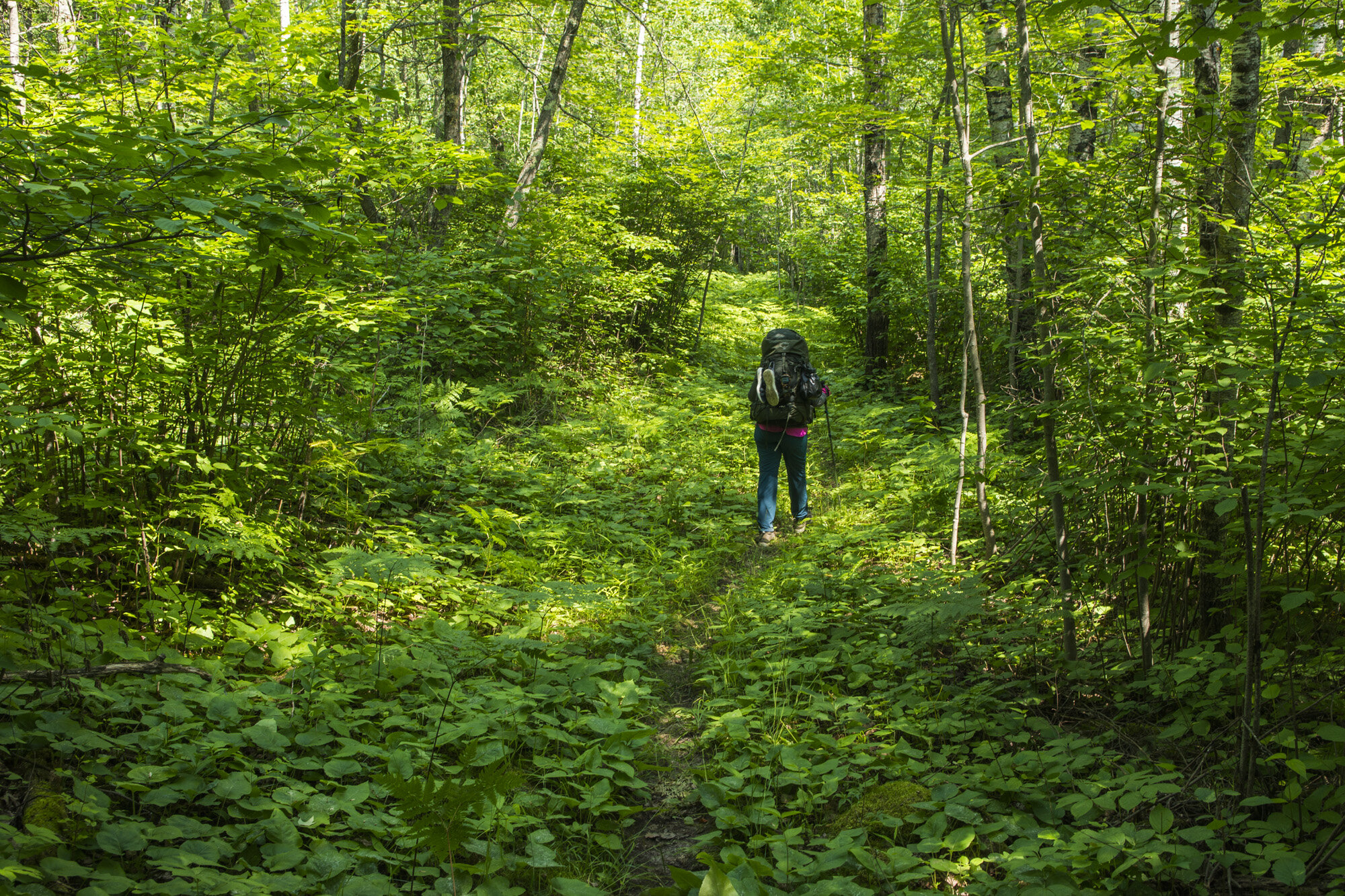
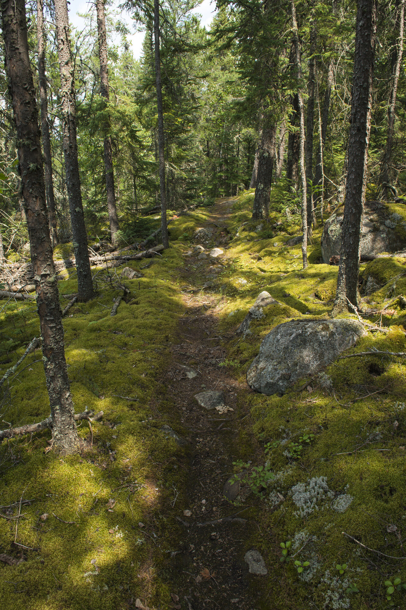
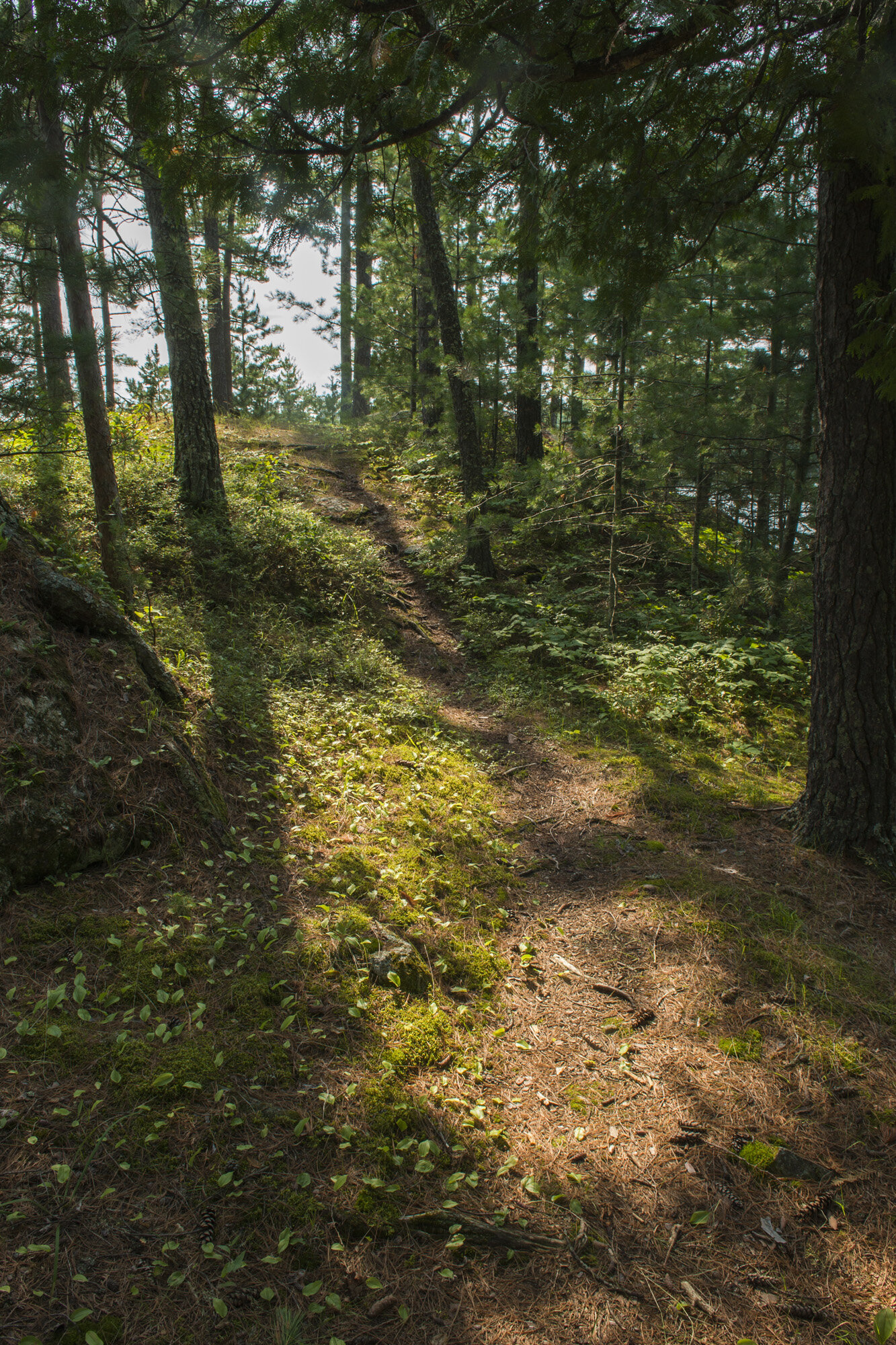
After breakfast we packed up the camp and started making our way to our next destination, Rainy Lake. Rainy Lake is the other really big lake in Voyageurs NP. It sits north of the peninsula and straddles the U.S./Canadian border. I really wanted to spend at least one night on Rainy Lake, seeing Canada less than two miles away. Being a geography nerd, I find that sort of thing cool. To get there we would have to hike the nine mile Cruiser Lake trail, one the few trails that crosses the interior of the park. It connects Lost Bay with the south shore of Rainy Lake. At the end of it is Windmill Rock campsite, the only site on Rainy Lake accessible from the trail.
As I mentioned, there is not a lot of elevation change in Voyageurs, so our total gain over nine miles was maybe a few hundred feet, after factoring in the ups and downs. One of the biggest single gains was the short climb out of our campsite on Agnes Lake. Our first stop would be the trails namesake, Cruiser Lake, where we planned to have lunch.
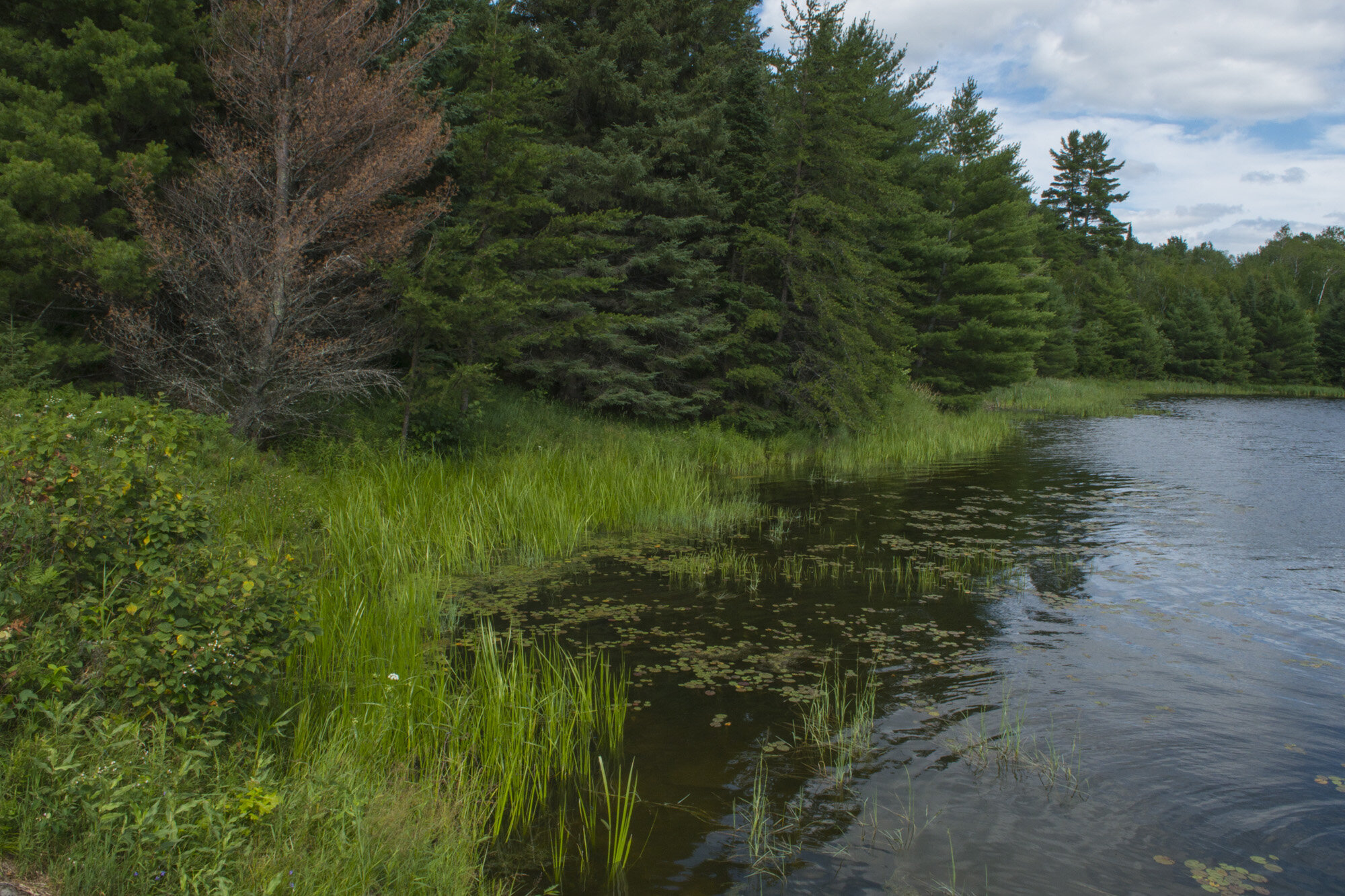
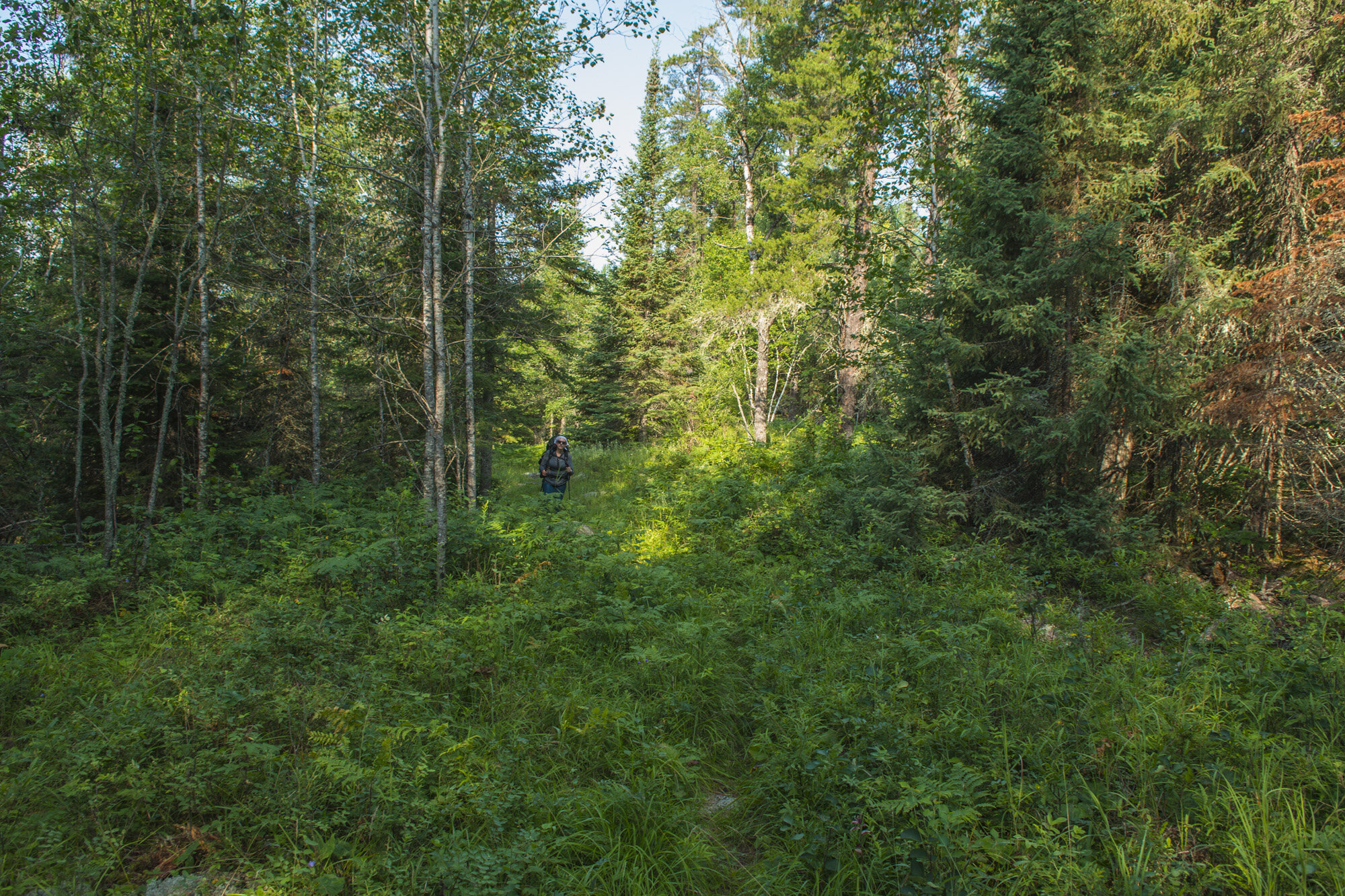
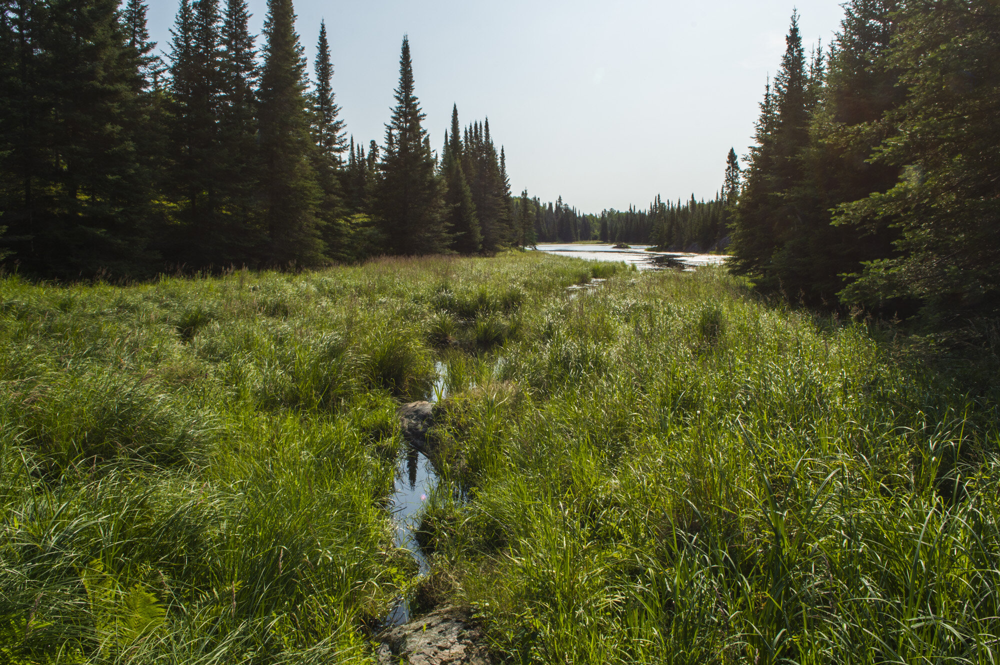
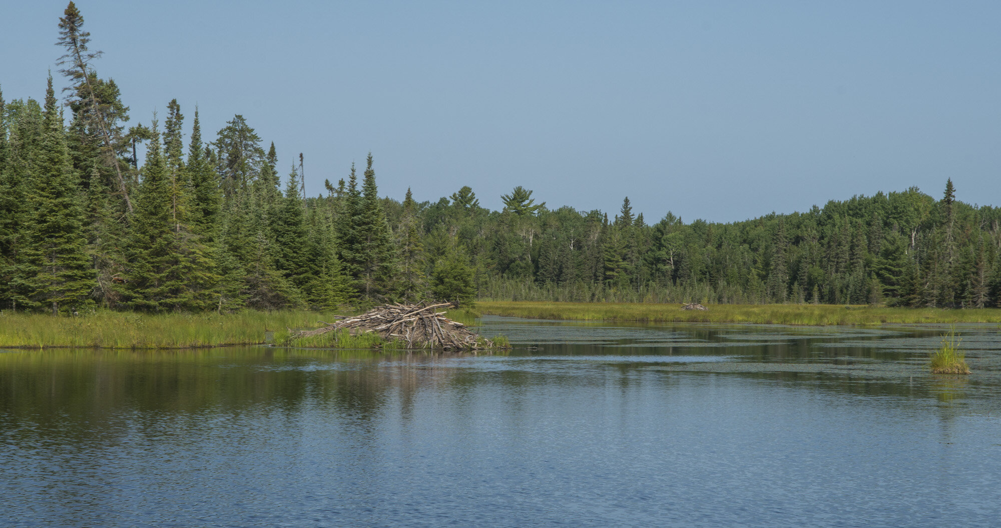
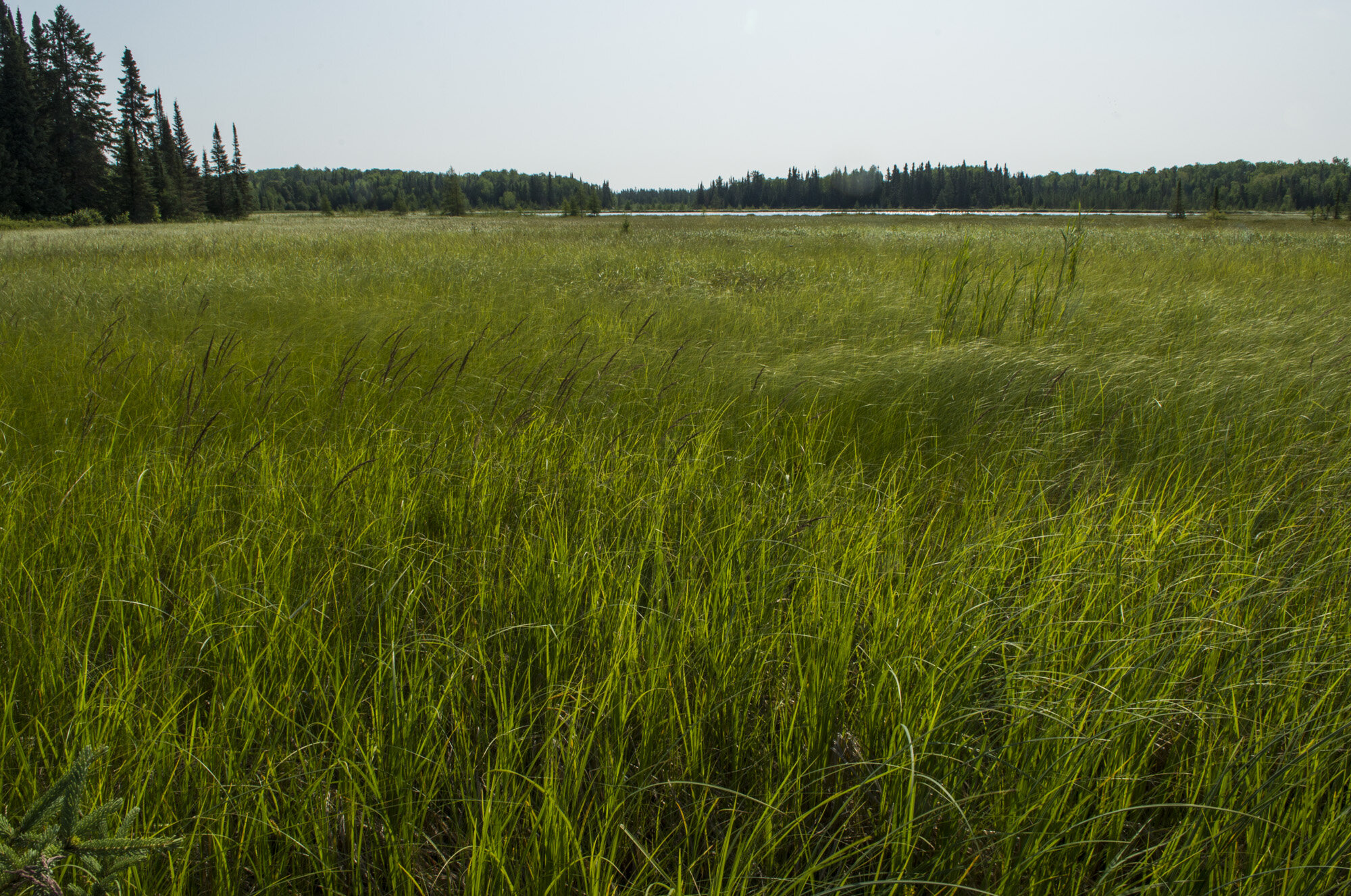
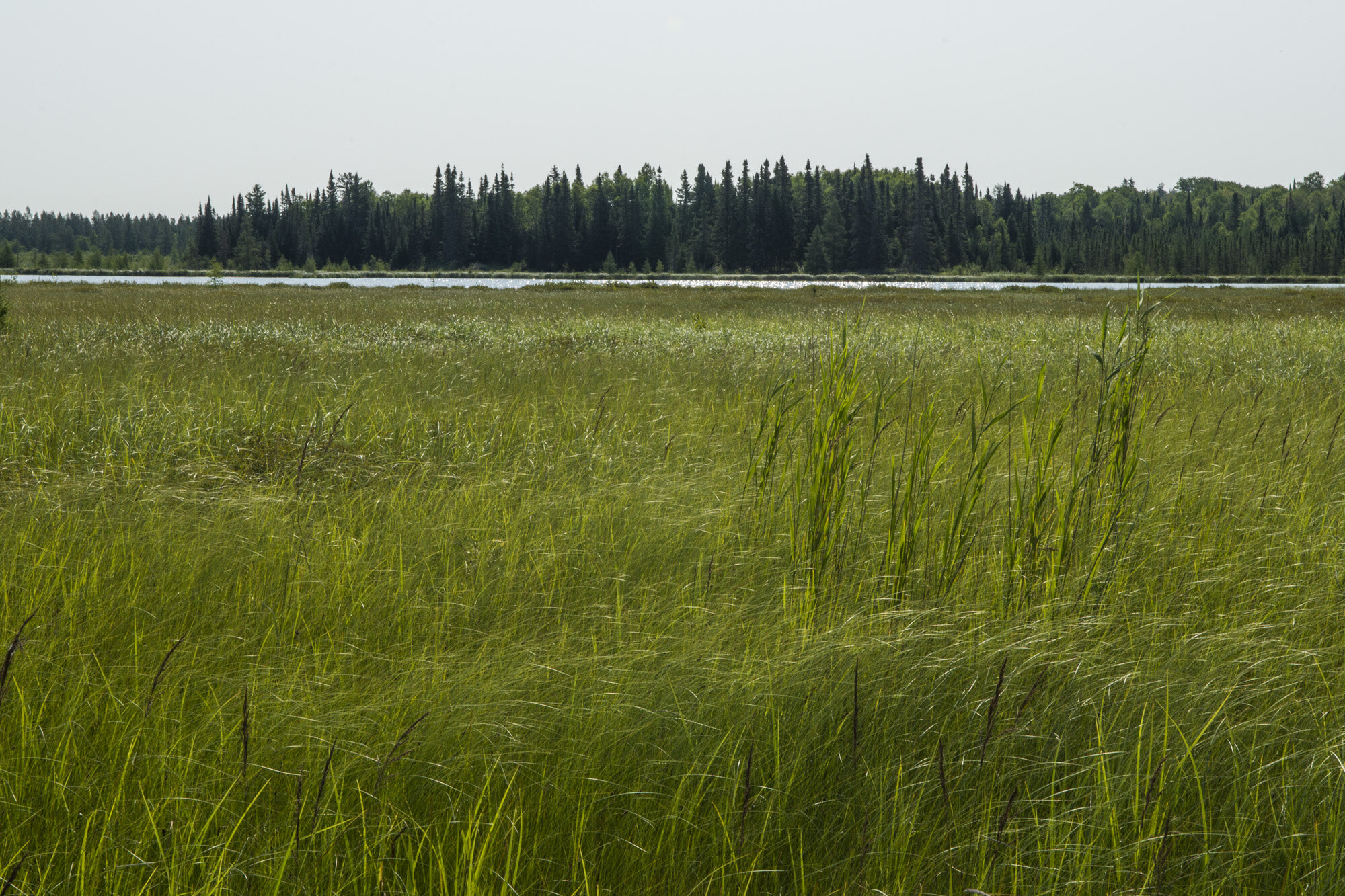
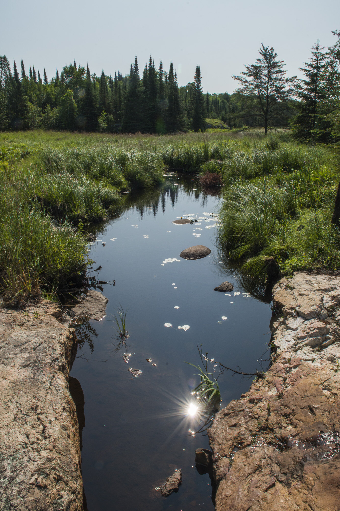
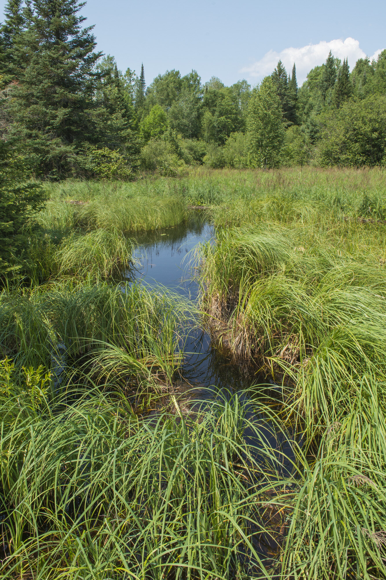
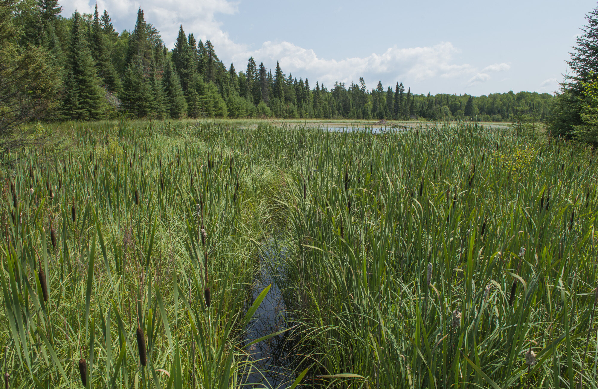
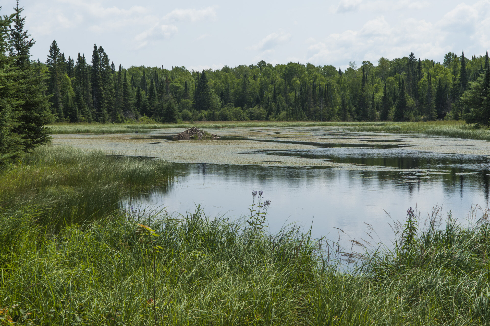
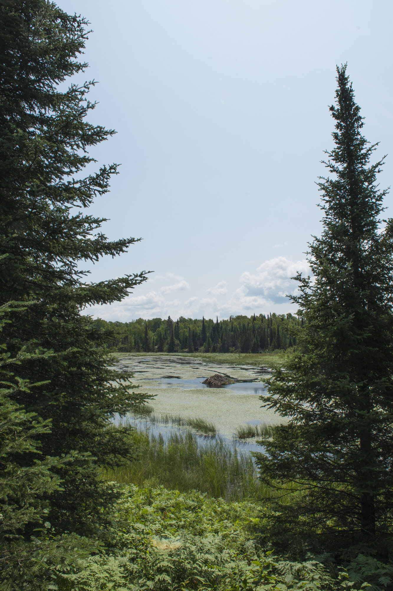
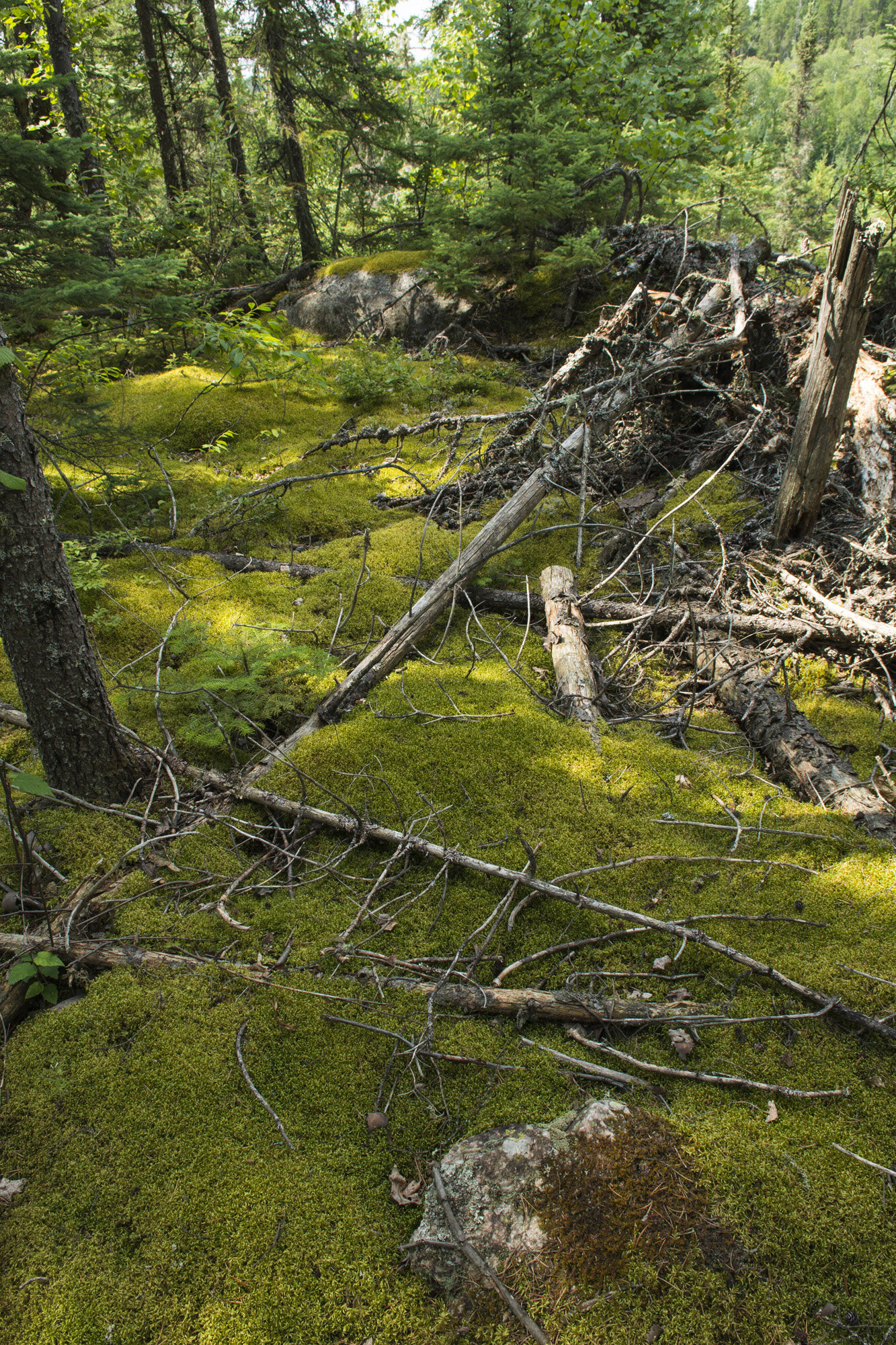
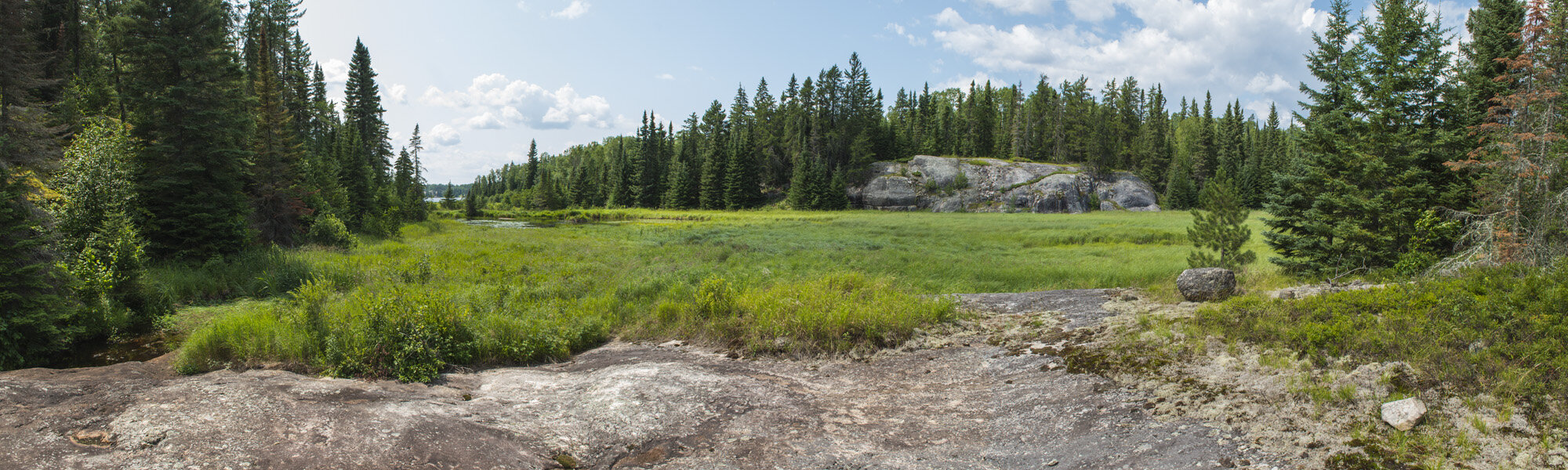
The terrain along the trail consists mostly of forest, with occasional grassy marsh areas centered around small ponds. We soon came upon one of these marshy areas, with grass up to our waists. Many of the small water crossings have plank bridges, just to keep you out of the muck. As we crossed one of these bridges I noticed the land sloped up abruptly about 20 feet off the trail. After further inspection we realized it was a beaver dam! It ran parallel to the trail and was maybe 50 feet long. I had never seen a beaver dam up close. So once I was past the short section of tall grass, I carefully maneuvered my way up to the dam until I could see the top of it and the pond on the other side. They really are amazing. These incredible structures built by such tiny creatures.

Beaver dam along the Cruiser Lake Trail
Cruiser Lake is roughly at the midpoint on the trail between our canoe and our campsite on Rainy Lake. There is one campsite there, on the lake’s north shore. Nobody was there when we stopped so we made use of the benches to have lunch. We also discovered what the campsite pit toilets are like. It’s a standard pit style toilet… and that’s it. No building. Just a toilet in the middle of the woods. It’s privacy comes from the fact that it is off the trail about 100 feet. And bring your own toilet paper. We figured Agnes Lake must’ve had one as well and we just never found it.
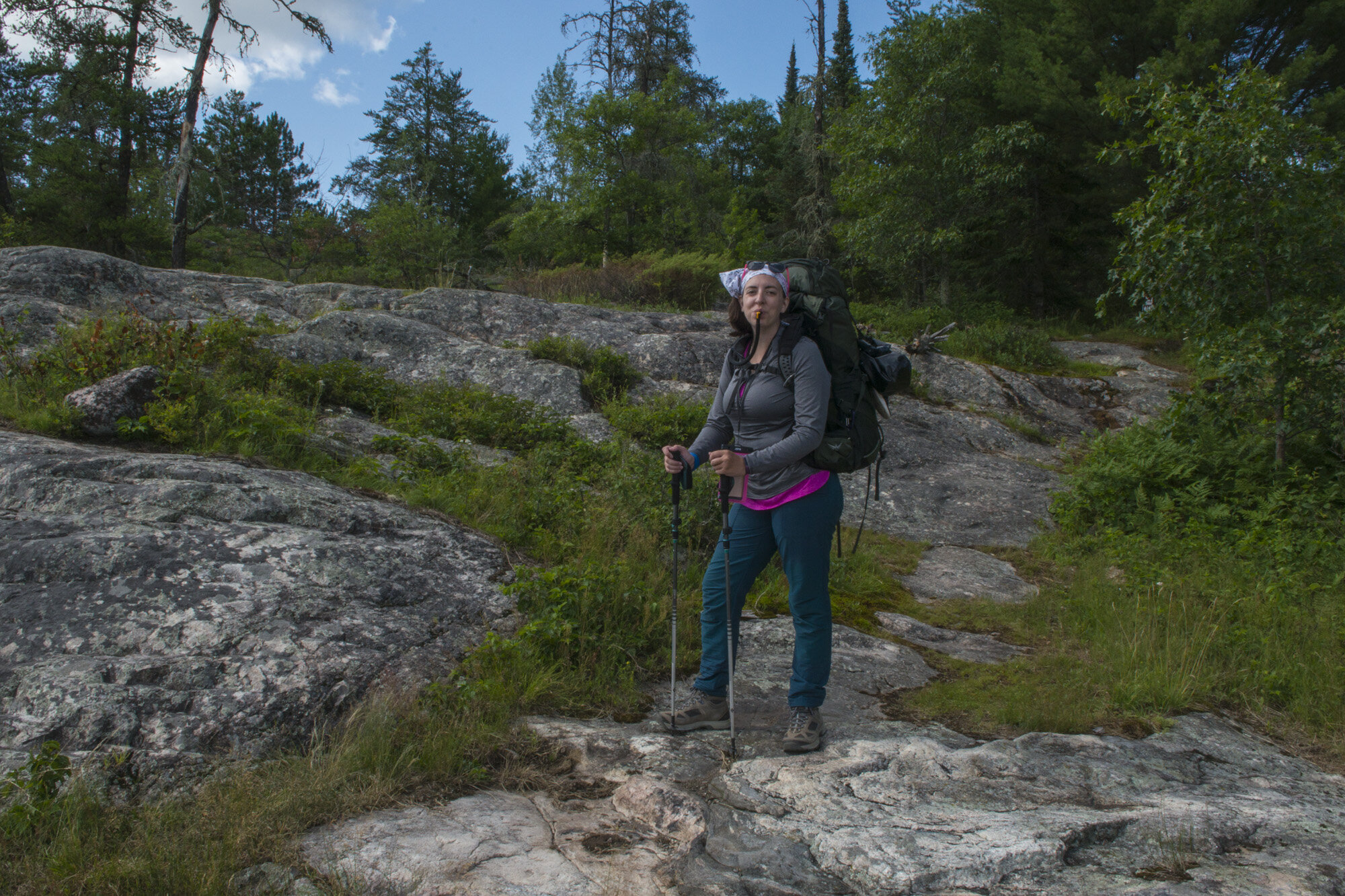
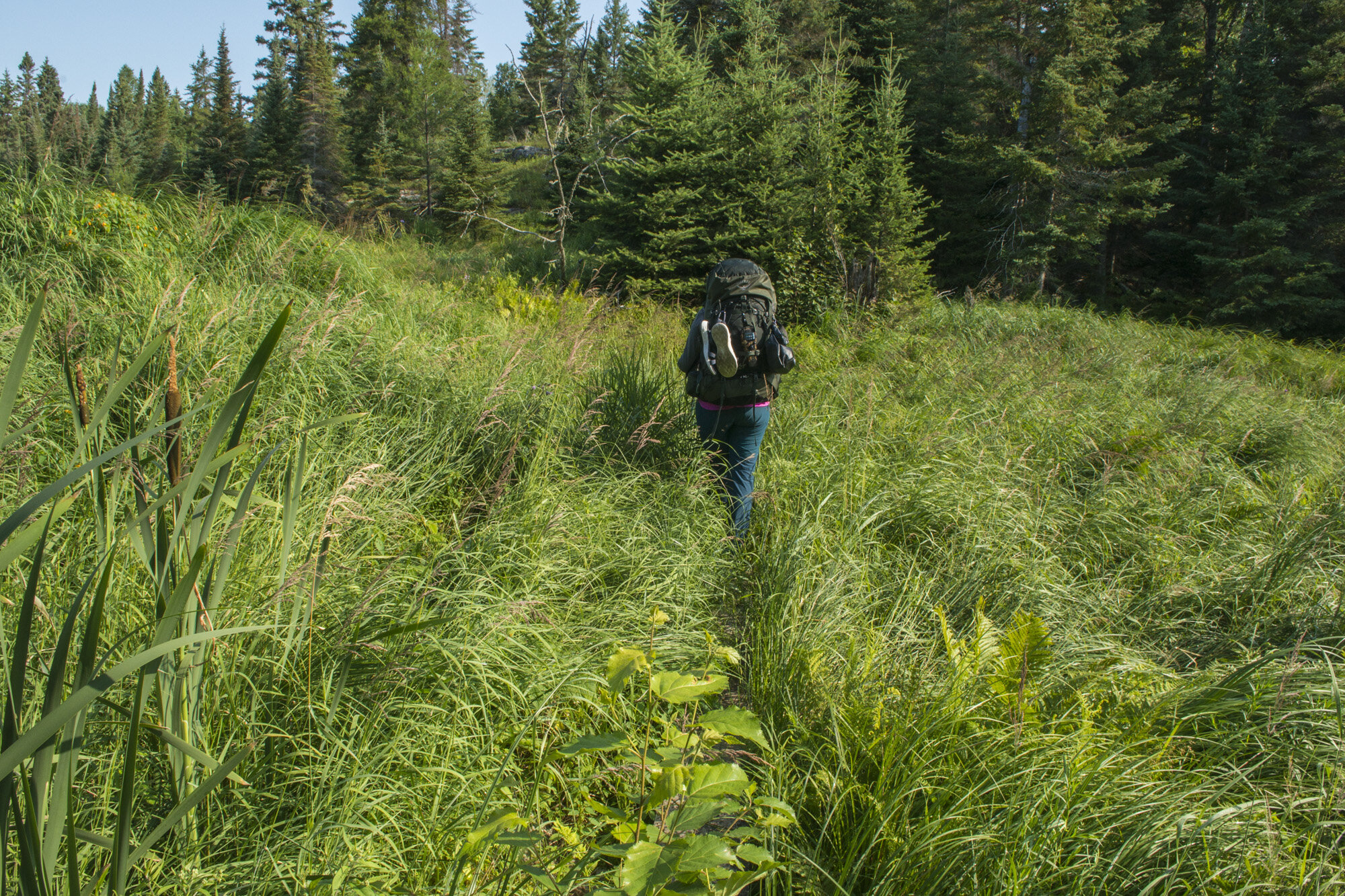
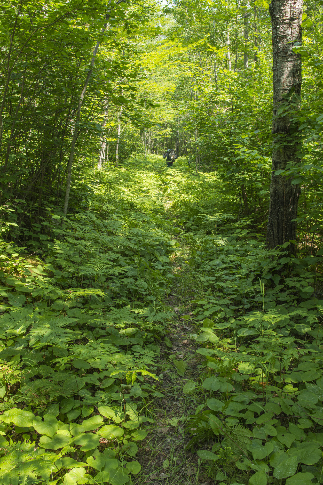
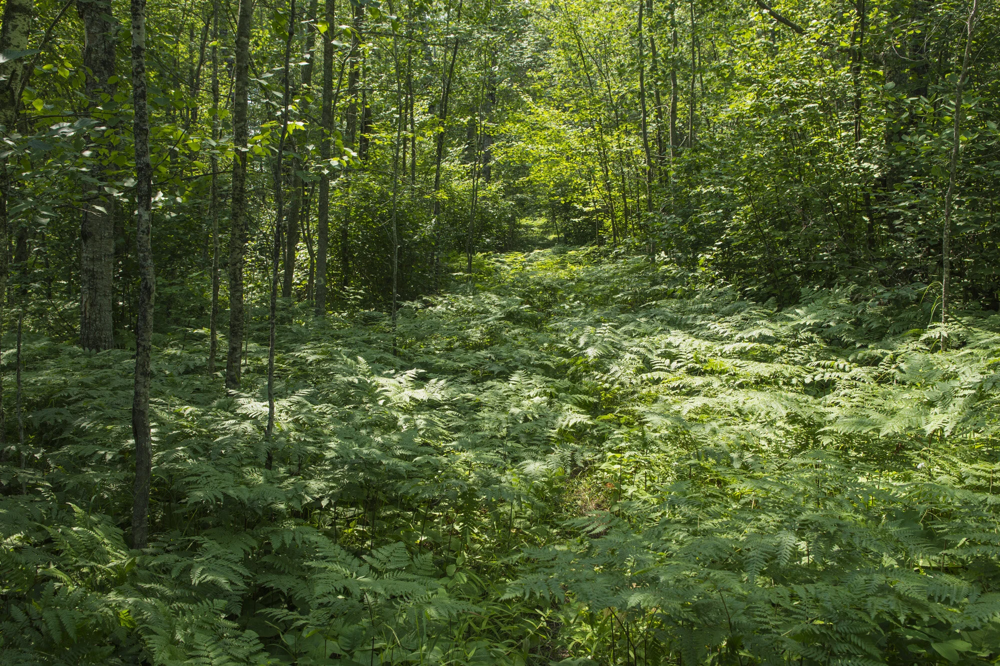
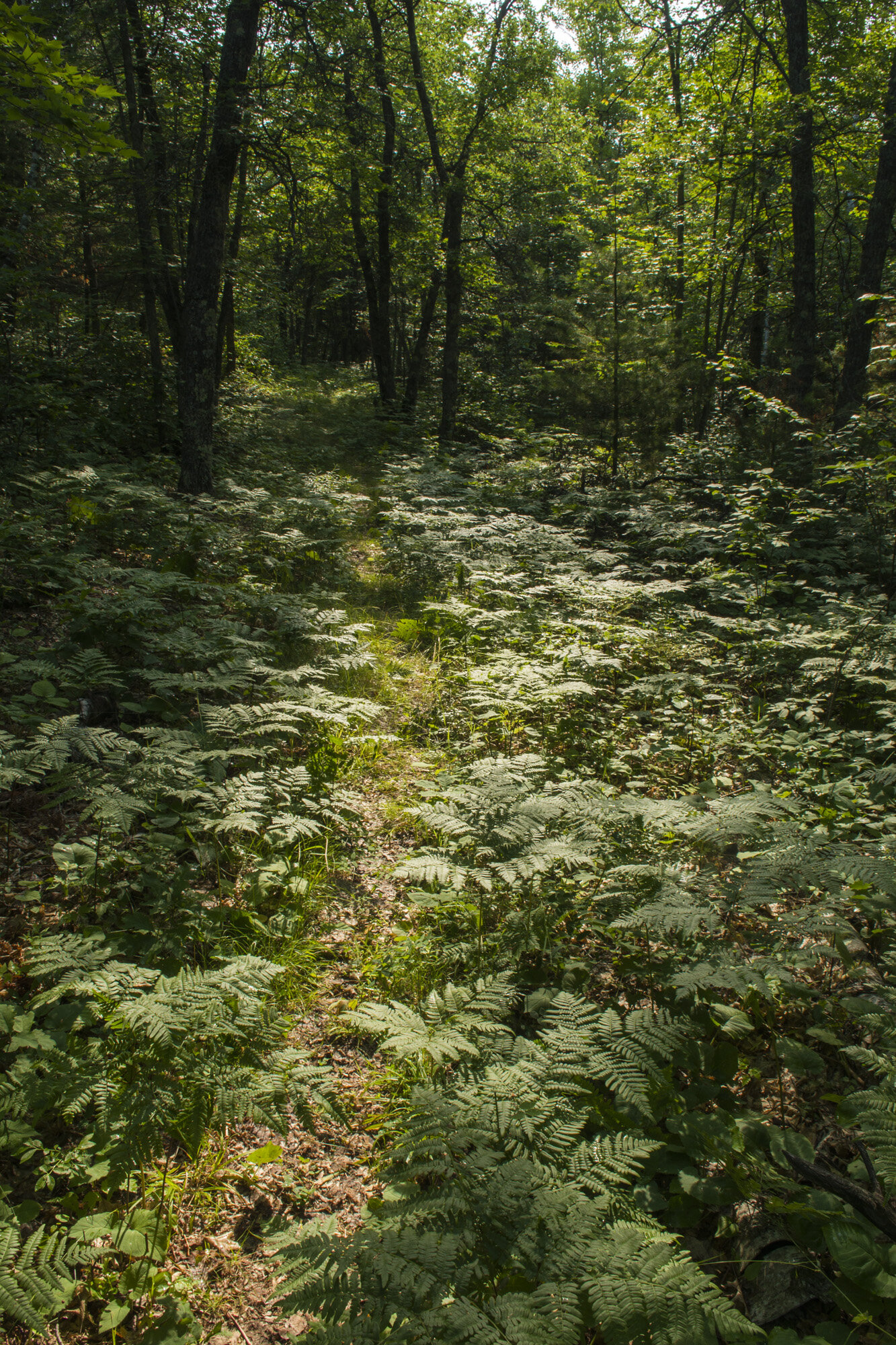
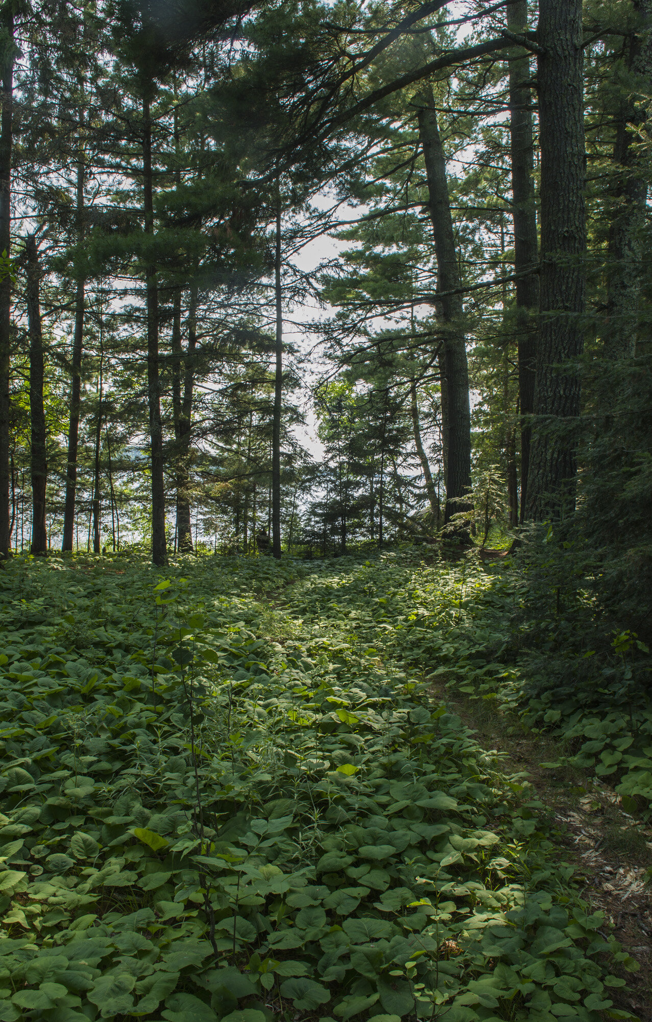
We continued on with the northern half of the Cruiser Lake Trail. Not as many marshy, grassy areas on this section. There were however several sections of the trail that were overgrown with tall plants, such as ferns. It was often up to our waists. This will come up later.

Gwynn up to her waist in ferns on the Cruiser Lake Trail

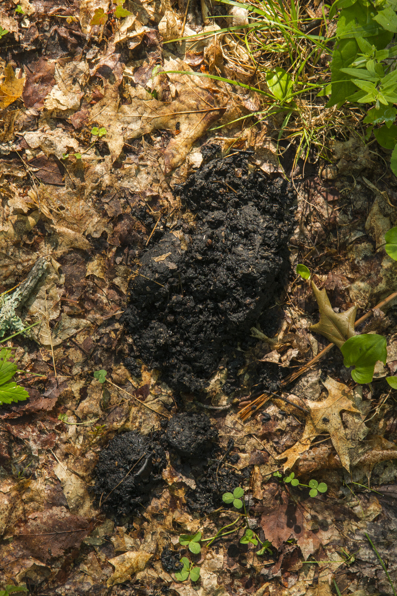
Wolf scat on the Cruiser Lake Trail
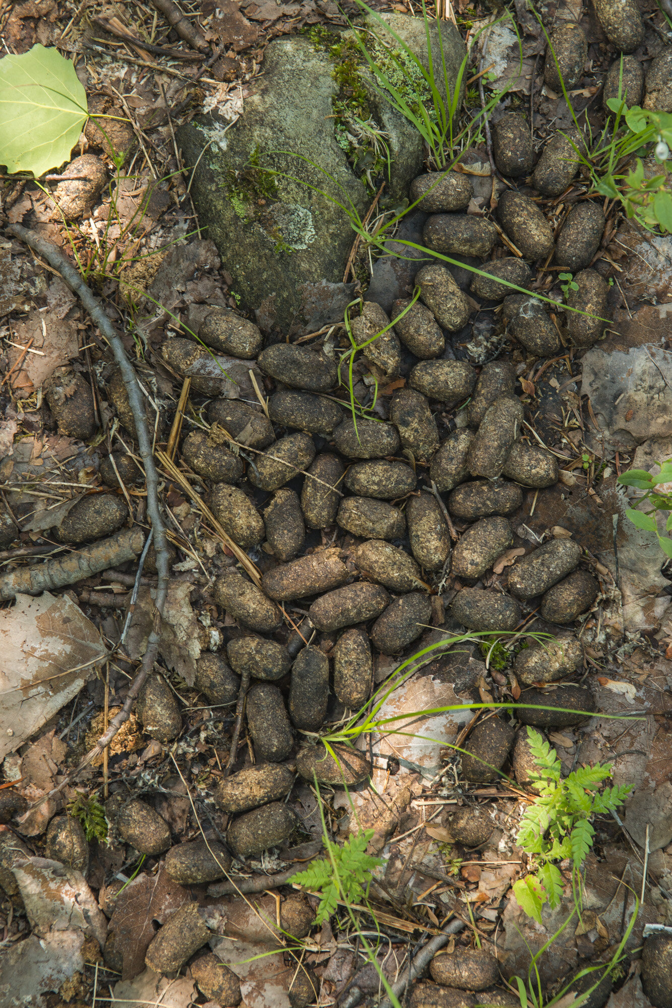
Further on, we came upon some scat on the trail. It was full of hair, so we figured it was a coyote or wolf. As it so happened, a woman came hiking up the trail. She was working for the park and was on her way to do some back country research. She confirmed that it was wolf scat. She would also be the only other person we saw that day (and first since entering Lost Bay the day before). We also saw moose scat, but never saw a moose.
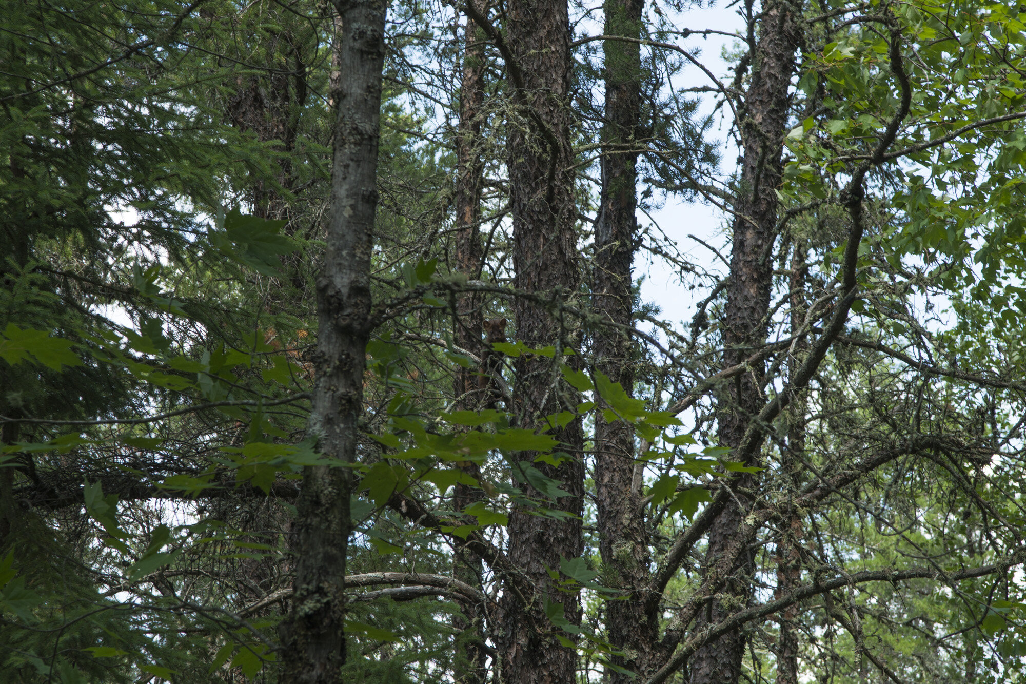
As the trail wore north, it did gain a bit of altitude. It’s still a flat park so it wasn’t much, but it was enough to get a decent view of Peary Lake, a small pond just west of the trail. In the tall trees of this area, we spotted one of the few four legged critters we would see in the park; a marmot. It was high up in a tree just checking us out as we walked along.
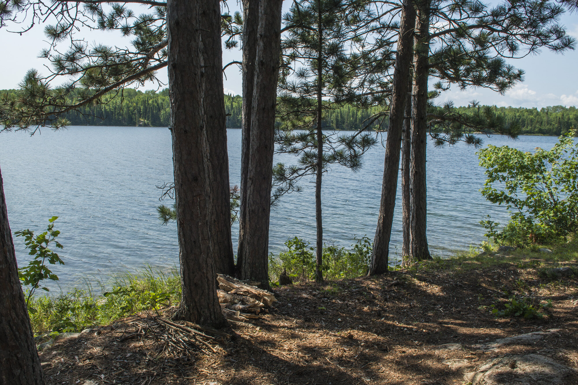
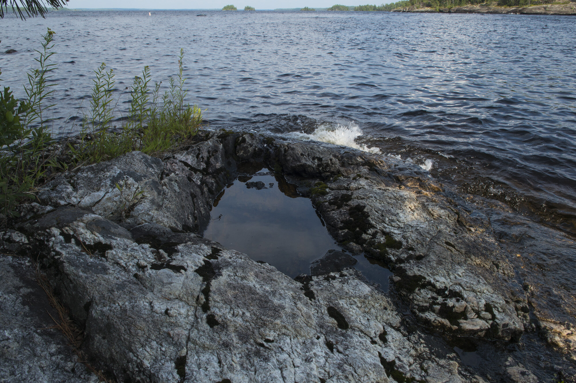
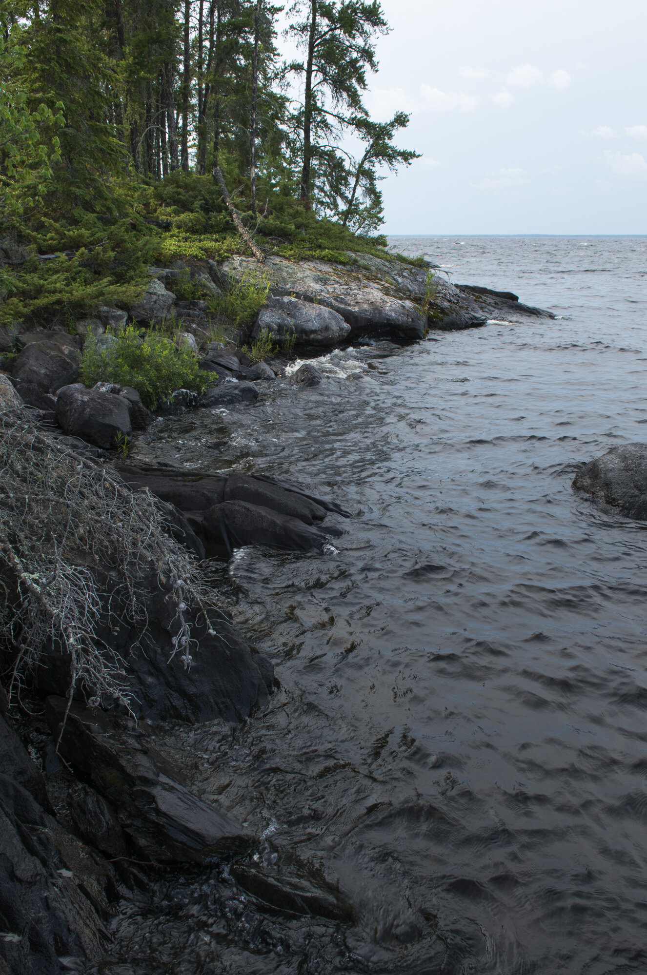
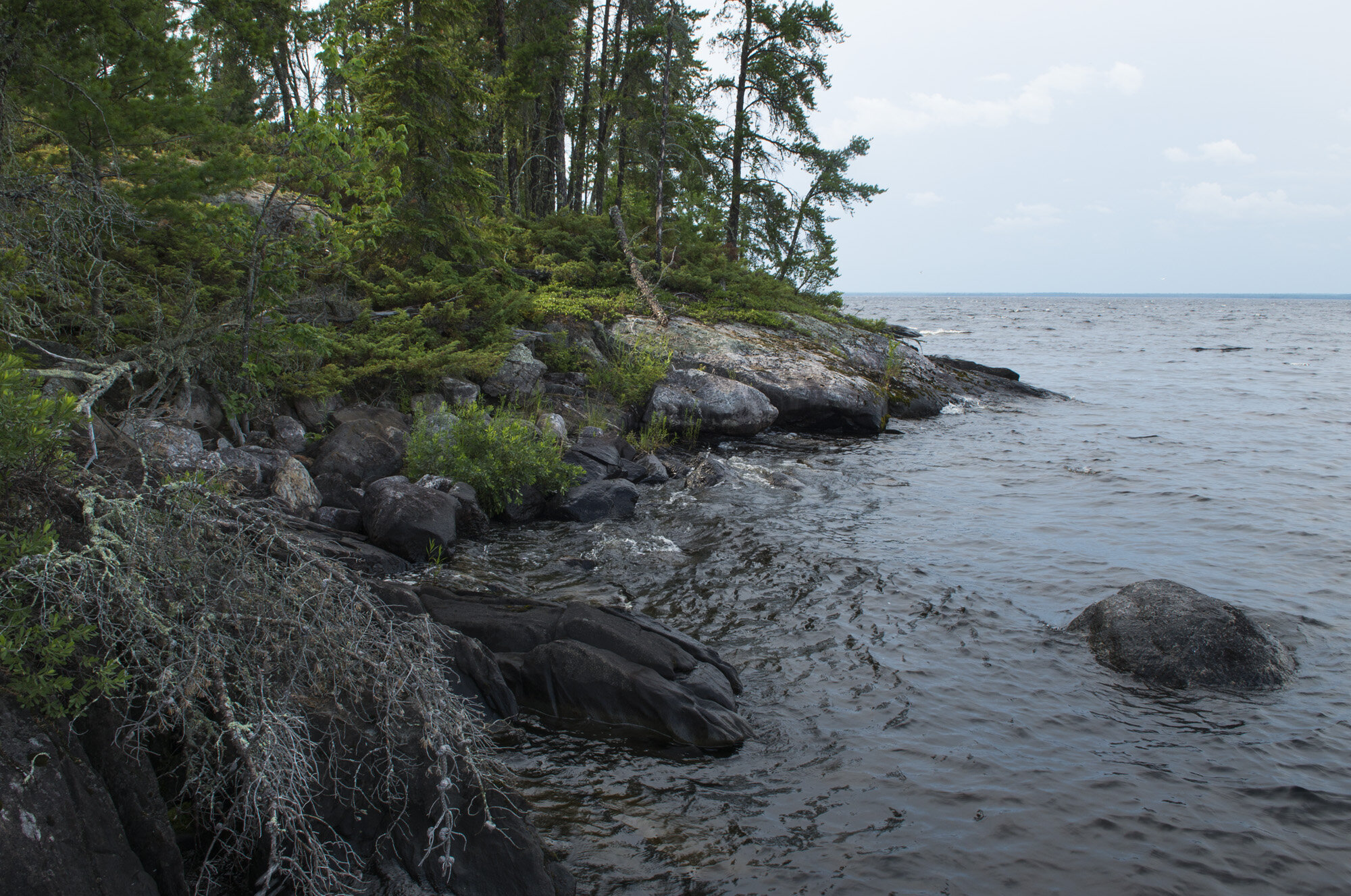
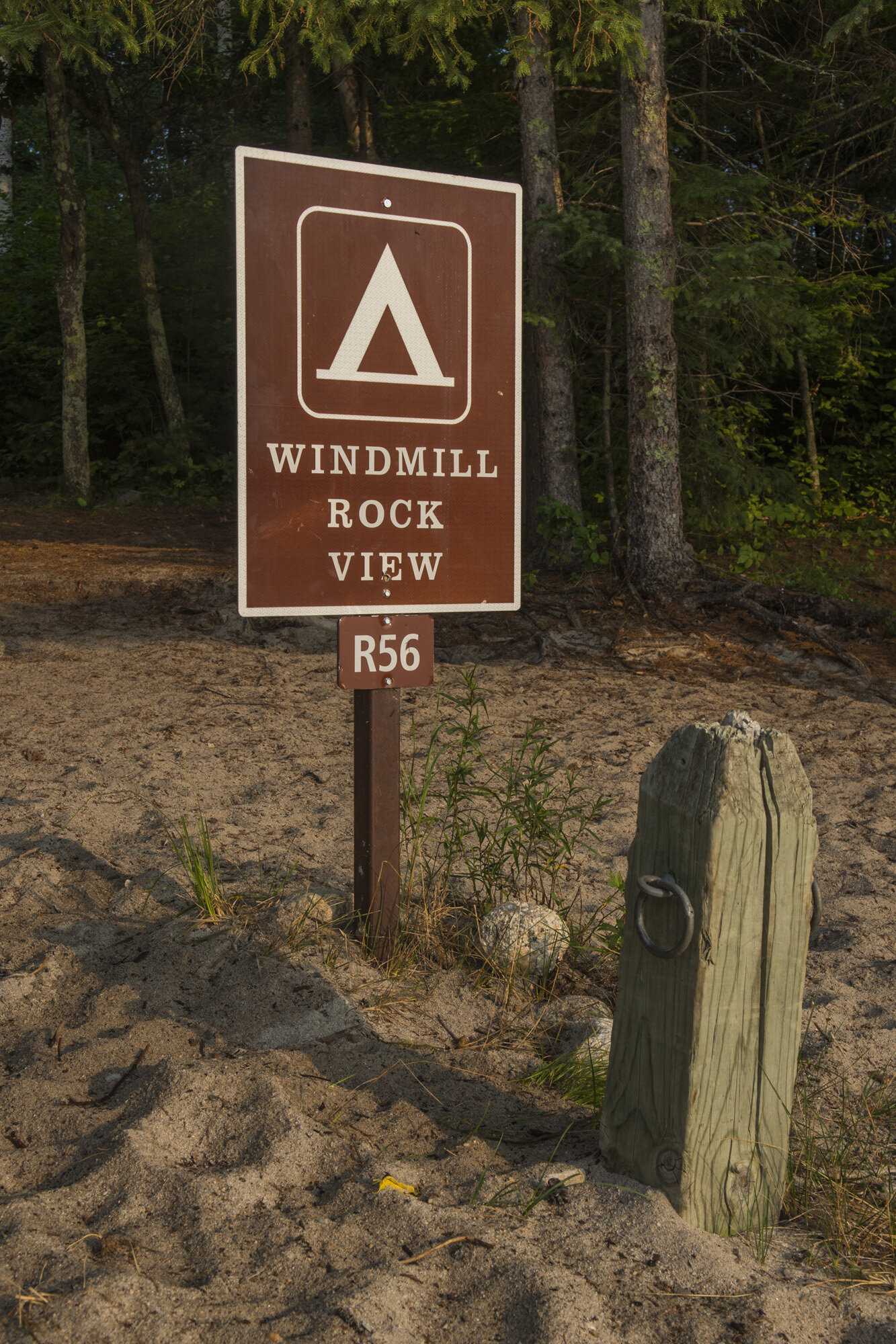
At long last we reached the shores of Rainy Lake. The trail came out onto a rock slab that led right down to the water. We had to traverse this slabby section for about 100 yards until it ended at a small beach. I saw a sign that read “Windmill Rock View”. This was it! We finally made it to our campsite!
Set in a small cove, our campsite had a nice view of Rainy Lake and Canada on the other side. After getting camp set up I took a quick break at the picnic table. As I was sitting there with my head down, that’s when I saw the first one. A small, brown, flat insect crawling up the leg of my hiking pants. A tick. I should’ve been more concerned than I was, but honestly wasn’t 100% sure it was a tick. Being from the northeast where Lyme is a problem, I should’ve been sure. I flicked it off, took a quick look over my clothes, and carried on.
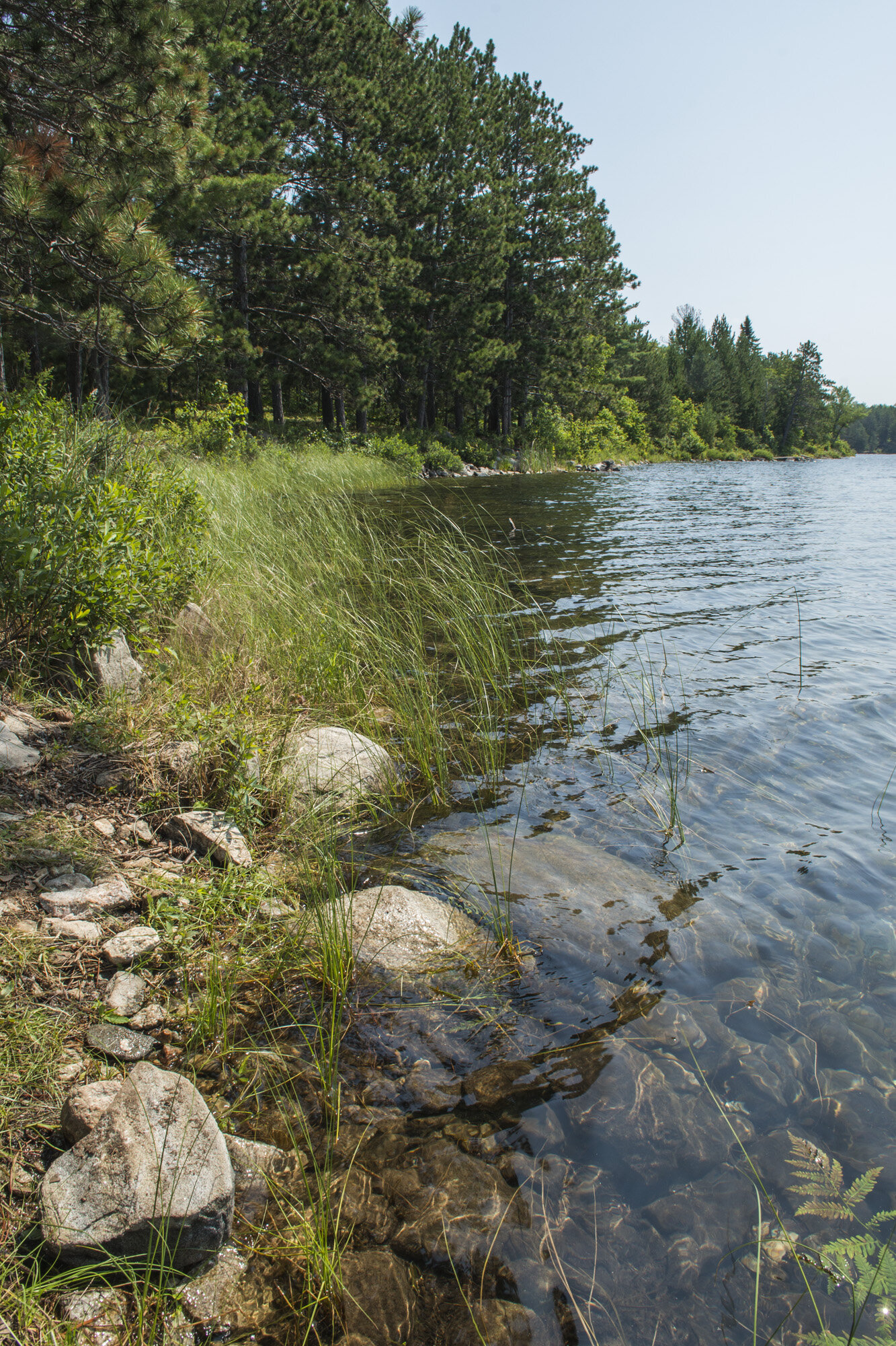
Since we were both hot and sweaty, we decided to go for a swim. The water of Rainy Lake was brisk, but it did feel good after a long day of hiking. I wore my blue sun shirt in the water, hoping to rinse it out a bit after sweating in it all day. I had been weightlifting for a while before this trip and I had made some gains. I wasn’t exactly Mr. Olympia material or anything, but it was noticeable (to me anyway). I looked down and saw the way my shirt was clinging to me and I was like “damn”. I’m not usually one to feel confident about my body, but I looked good in that wet, clingy shirt!
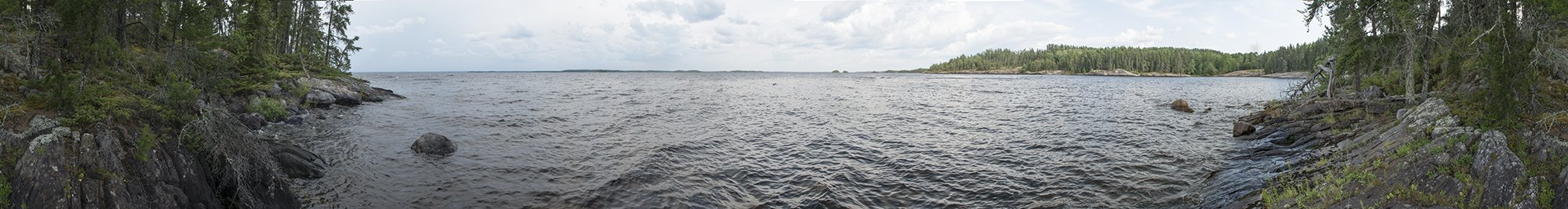
360 panorama from near our camp site on Rainy Lake.
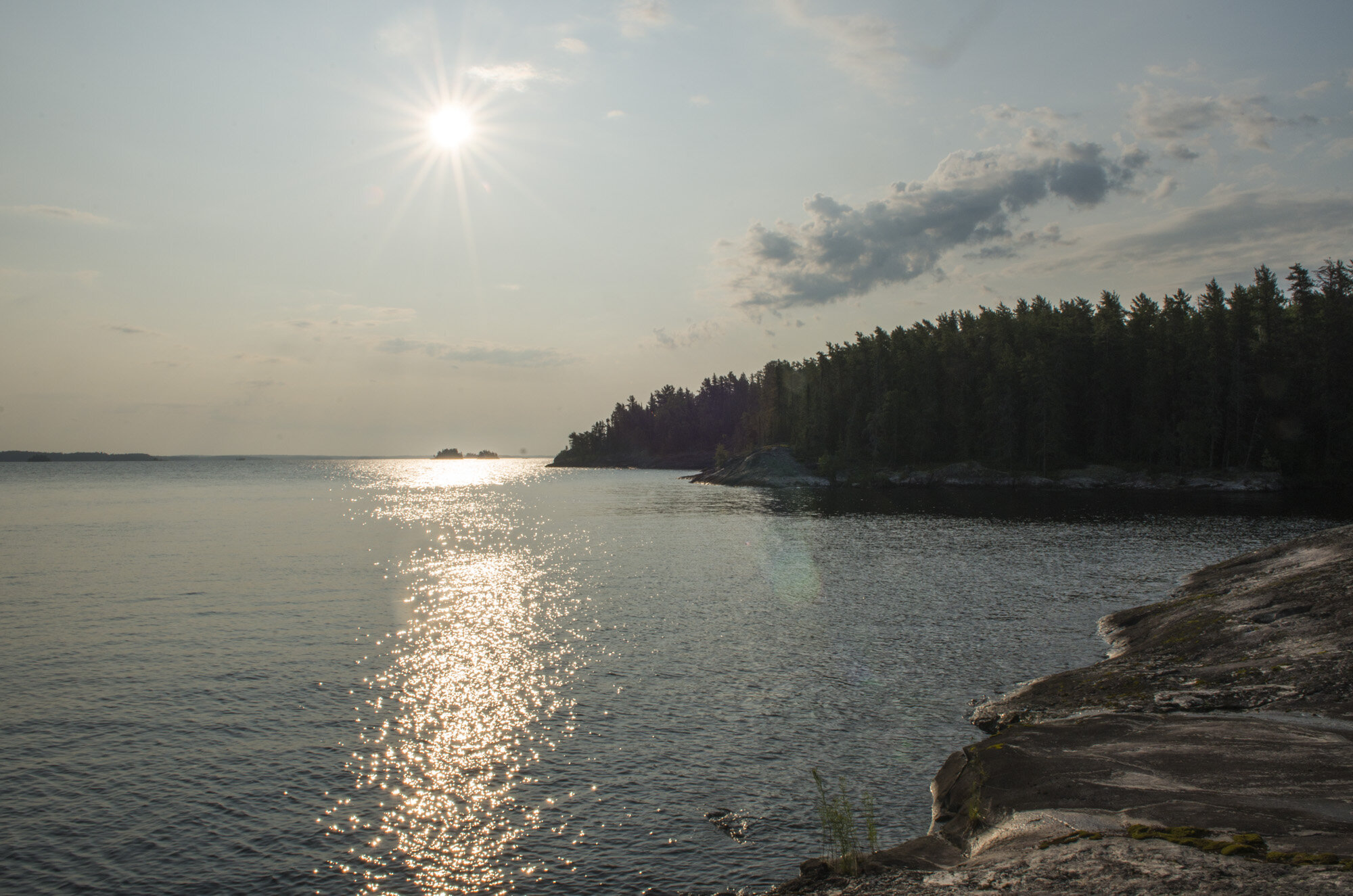
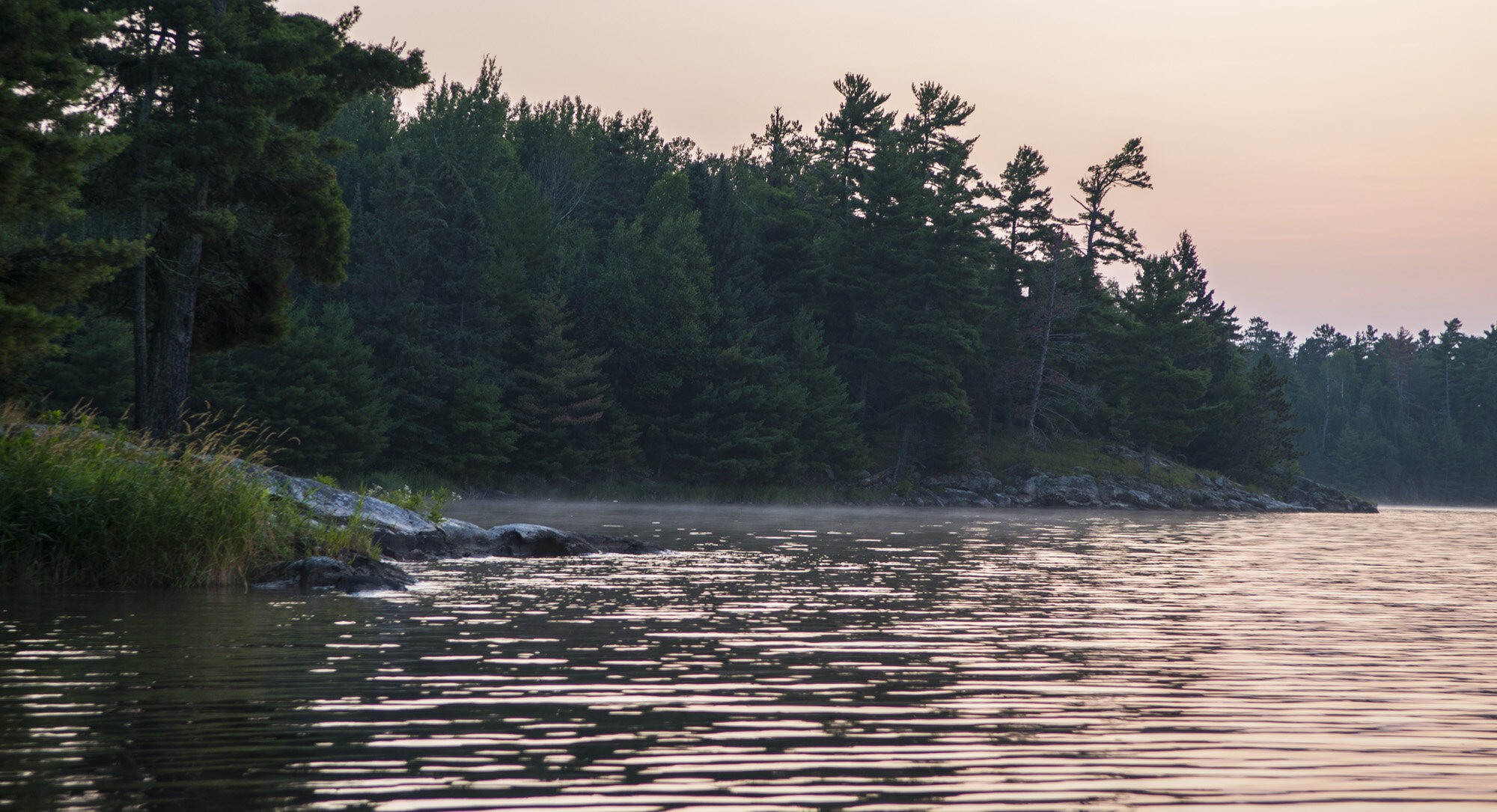
Taking a walk along the shore of Rainy Lake at the end of the day was really cool. I wondered off by myself hopping rocks and bobbing and weaving around trees. I made it out to a point of land not far from the campsite. I was just me with a light breeze, the waves gently lapping the shore, and Canada in the distance under a dusky sky. I love these little moments on trips where it’s just me and nature and the rest of the world slips away for a bit.

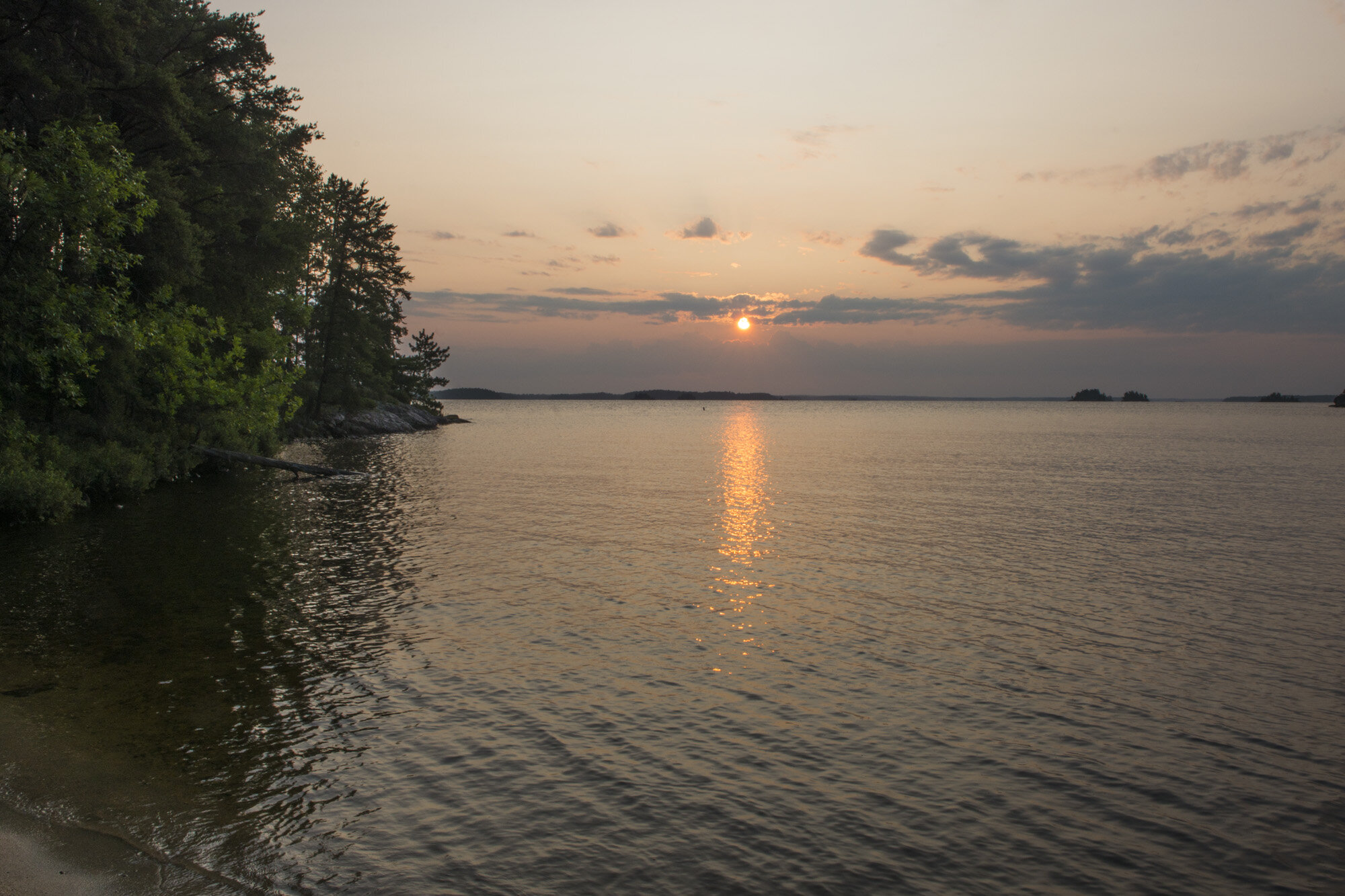
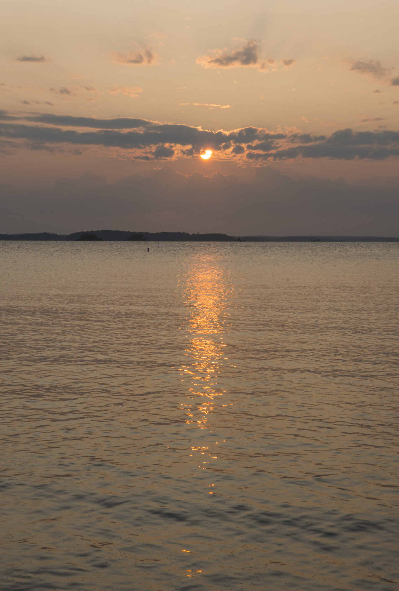
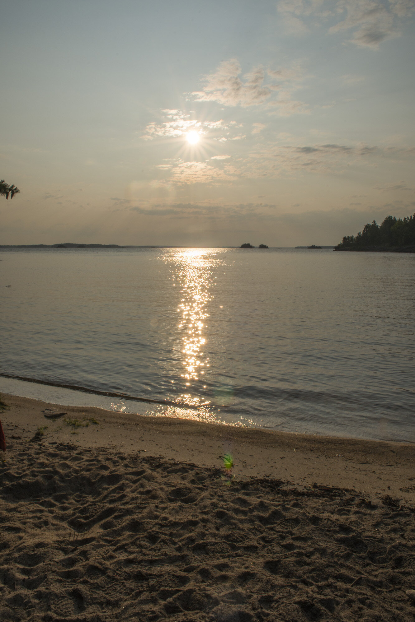
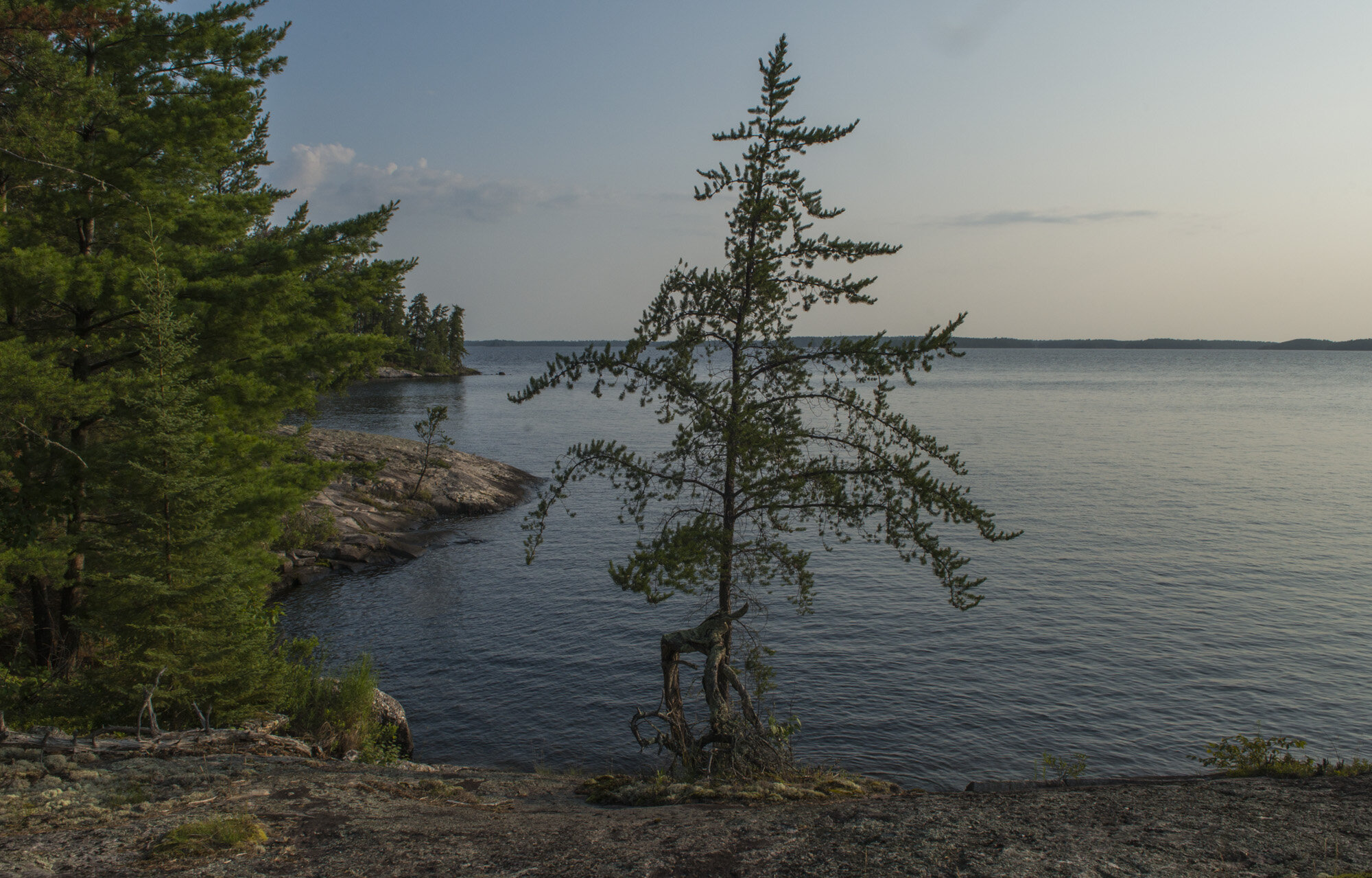
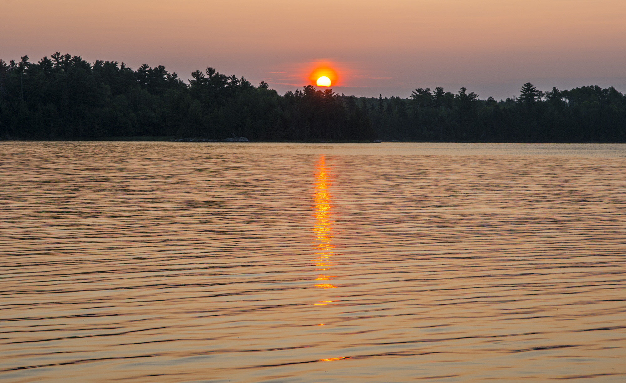
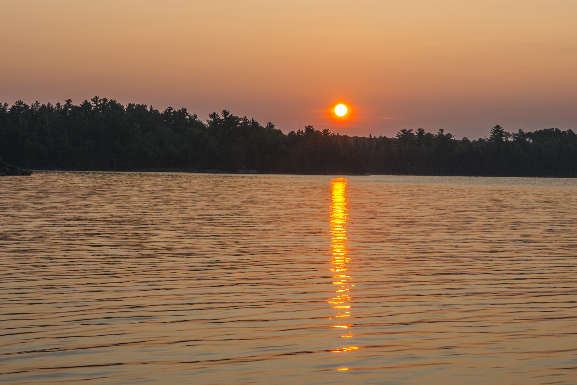
Sunset over Rainy Lake with Canada in the distance
Speaking of nature, after dinner and watching the sunset over Canada, Gwynn and I got in the tent to settle down for the night. And that’s when I heard it; the panicked cry of “JAAAMMMES!!!”. I looked over to see what was the matter. Gwynn had pulled her shirt up, exposing her stomach. And there they were; ticks, and they were attached. The big round kind, “flappers” as we would later come to know them as. There were a few on the front and she had me check her back where there were more. I helped get them off by placing the body between the pads of thumb and forefinger and then gently rolling my fingertips toward each other until my nails almost met. Once I had a firm grasp, I gingerly pulled until the tick came out. Then I tried to kill them as I was taking them off. They’re really hard to kill. You can’t really crush them, since they’re already flat. I used my pocket knife to try to cut them in half. Even that took some effort. In all I helped remove more than half a dozen from her upper body.
Then I turned my attention toward myself. My upper body seemed clear. Then I started checking my legs. There they were. I pulled off five ticks from my legs. I spent the next ten minutes anxiously quadruple checking every part of my body for ticks, from the top of my head to the bottoms of my feet and everywhere in between. Every little tingle had me worried there was another one, but I only found the five, which was plenty. I had been wearing full length pants all day, so how did I have so many on my legs? And not just at the waistline or cuffs, but down my thigh and the top of my calves. In the northeast ticks are taken seriously, so this was an unsettling experience. Once we were fairly certain we got them all, we tried to settle back down and get some rest to do the hike back to Lost Bay in the morning.
DAY TWO PHOTO GALLERY:
DAY THREE: RAINY LAKE TO LOST BAY

Our hike and canoe route from Rainy Lake to Lost Bay

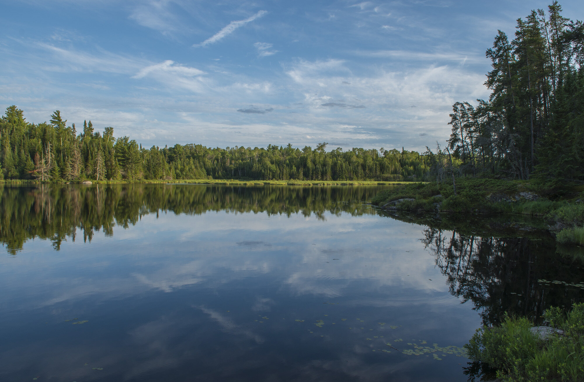
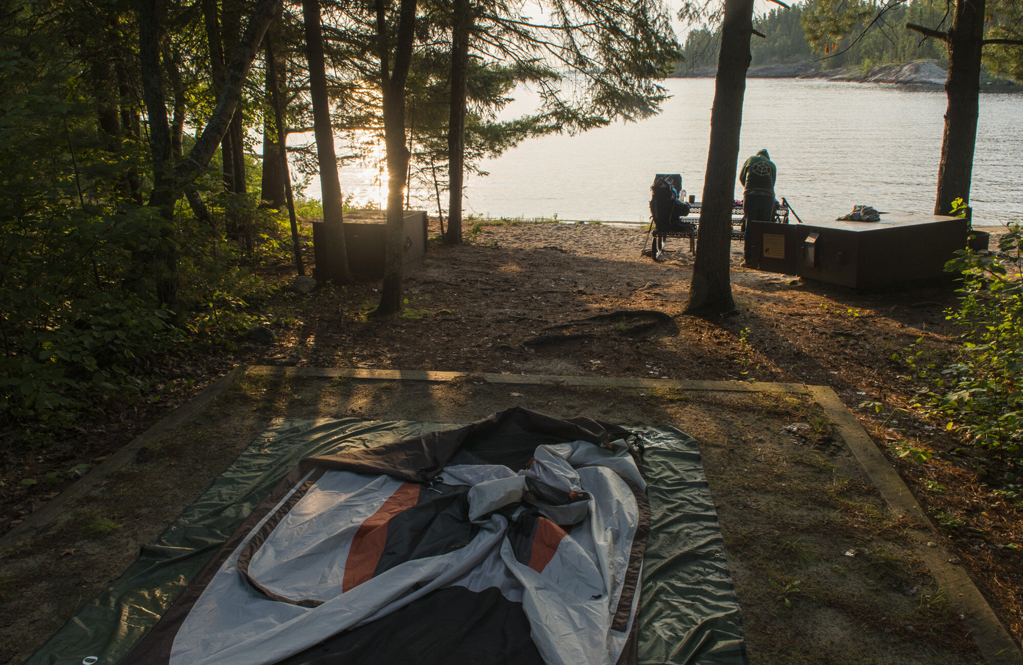
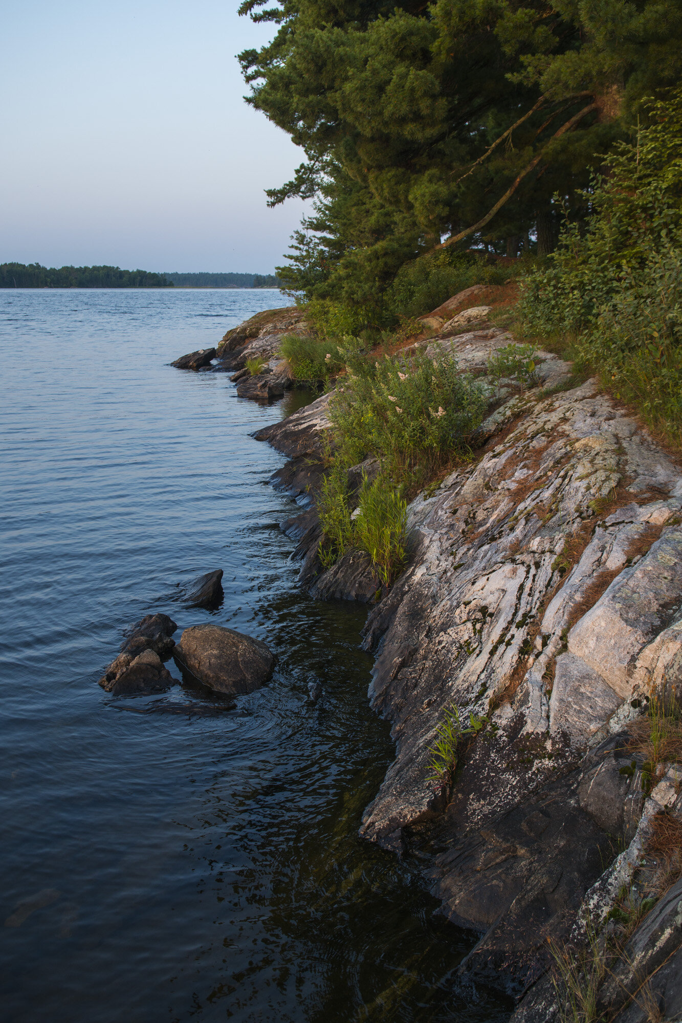
The small cove at our campsite
After breakfast and breaking down camp, it was time to start the long trek back to the canoe. We retraced our steps back down the Cruiser Lake Trail toward Lost Bay. We stopped for lunch again at Cruiser Lake and again had it to ourselves. We actually saw a few other hikers along the trail this time.
After several hours we made it back to the canoe, where it was still thankfully chained to the dock. This is one park where you don’t want to be stuck without a watercraft of some kind. There are no trails from where we were back to civilization. It would involve several miles of shore hiking/bushwhacking/swimming just to get back to the Ash River visitor center. On the plus side, there was cell service, so in the event we were stranded we could just call for help.

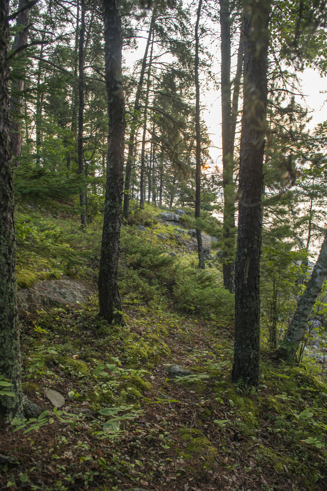
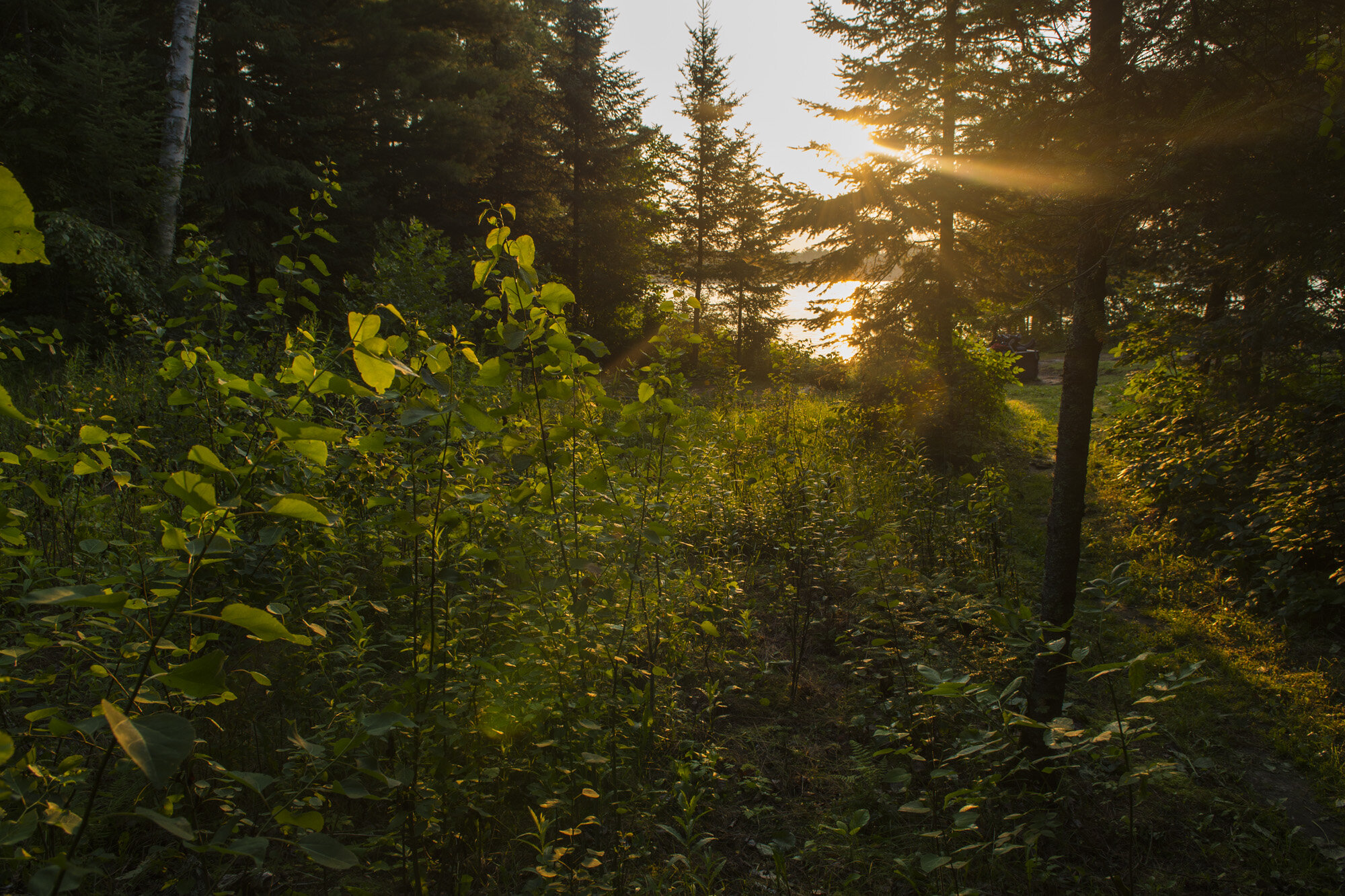
The quaint little forest near our campsite
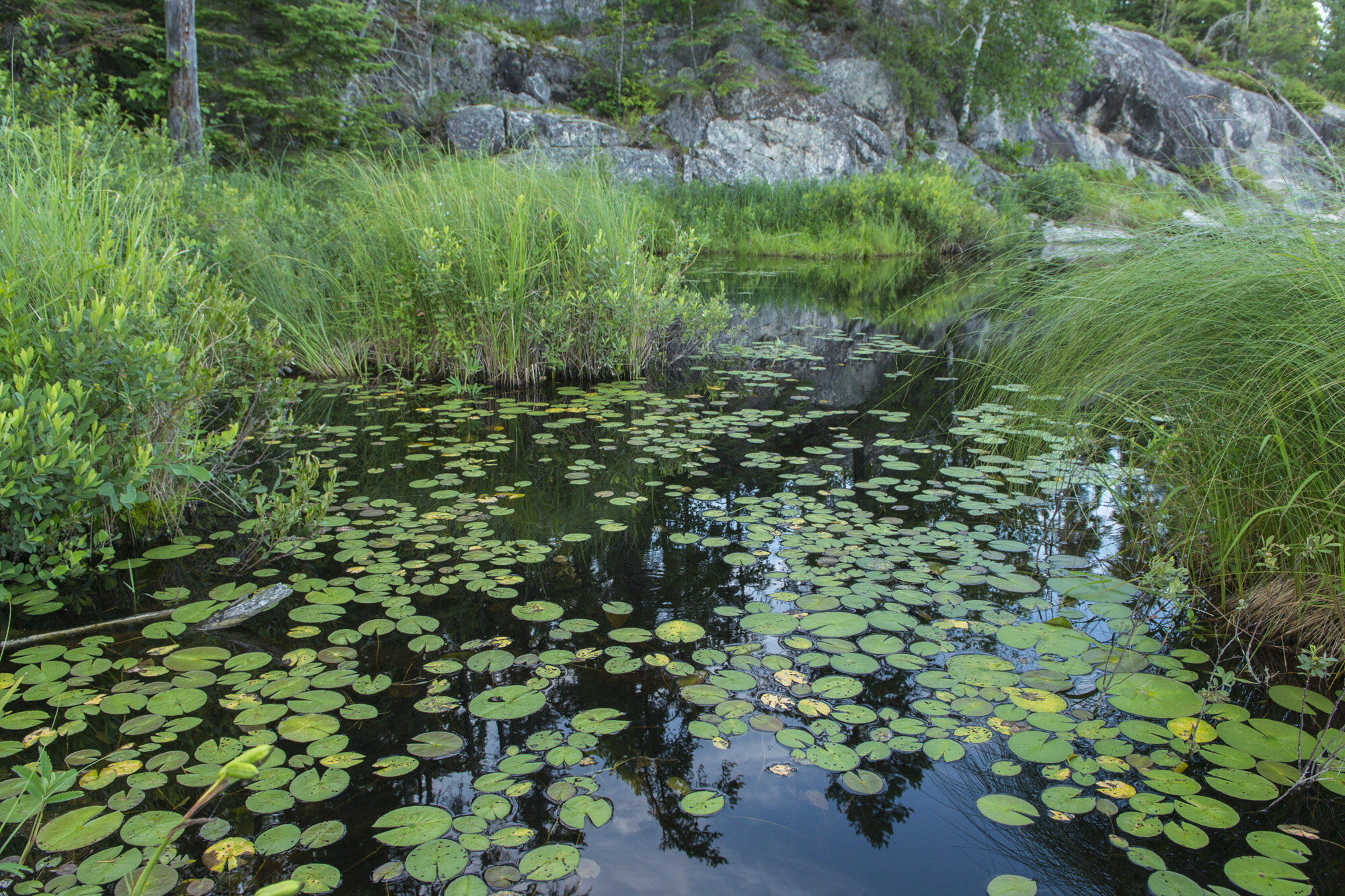
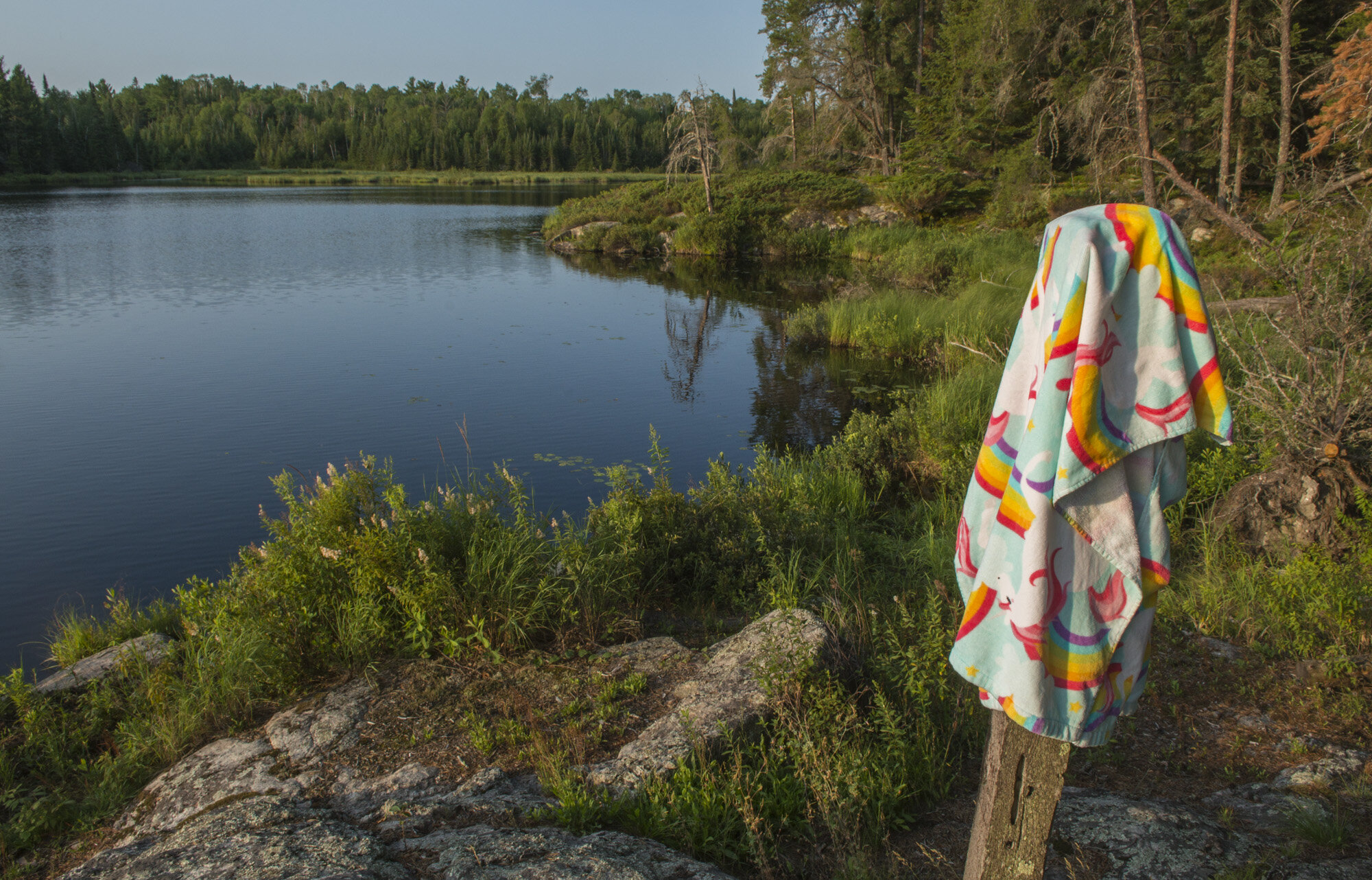
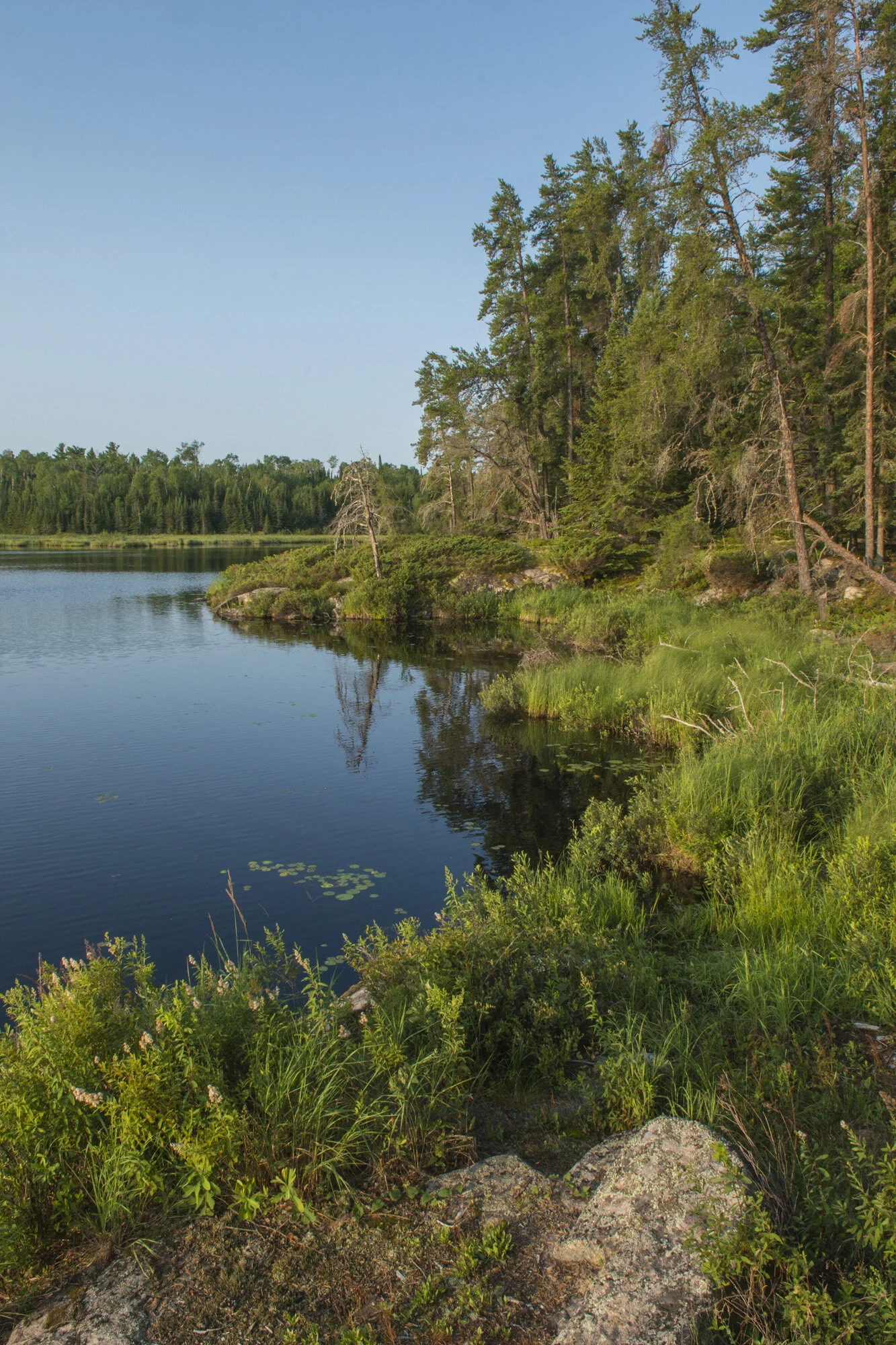
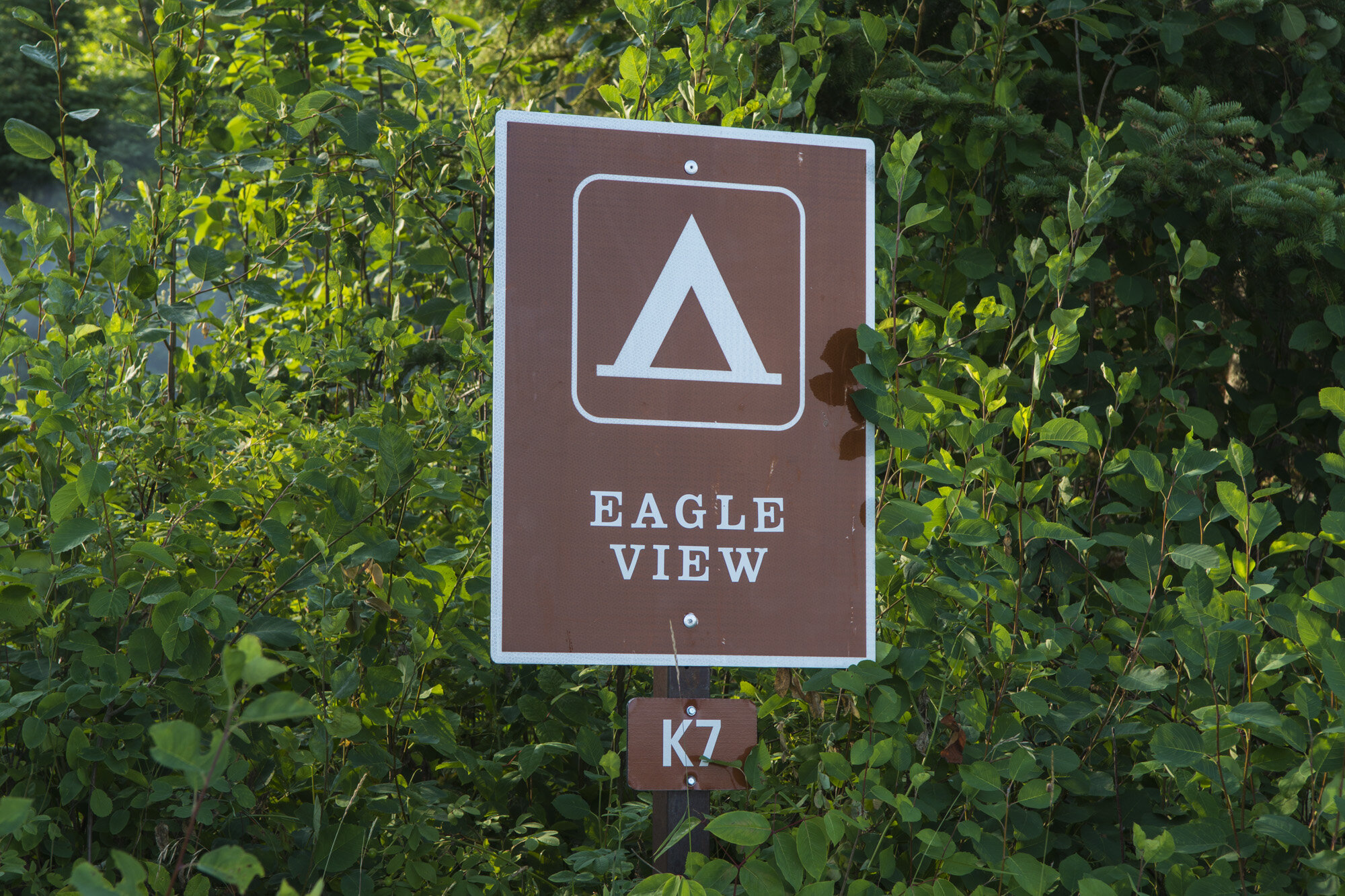
We loaded up the canoe and made the short paddle down to Eagle View campsite on the north shore of Lost Bay. The site had its own little cove that we could pull into with the canoe. After getting the tent set up, I started to explore a little. Eagle View sits on a wide point of land, about 200 yards across, that juts out into Lost Bay. The cove and campsite are on the east side of the point. On the west side was, well, that’s what I wanted to find out.
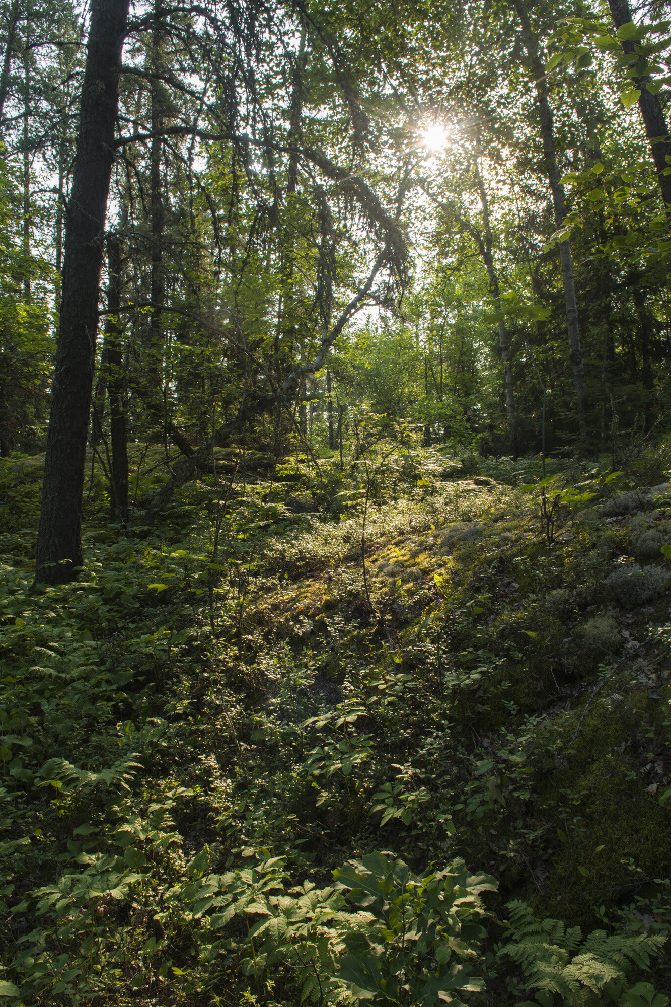
A small trail led away from the campsite to one of the open air pit toilets that we had become accustomed to. Good to know. But the trail continued past the toilet. I followed it to what would become one of my favorite spots on the trip. The trail came out into a small area with water on three sides, a solid canopy of trees and not much in the way of shrubs or bushes, allowing you to move freely around the area. It was in equal measure unremarkable and yet oddly quaint and charming, like something you’d see in a hazy fairytale movie.
We spent the rest of the day hanging around camp. Gwynn wasn’t feeling the best, so our adventuring was over for the day. It was a another nice day, so sitting at the picnic table watching the world go by wasn’t a bad way to pass the time. As I sat at the picnic table, dragonflies started buzzing around. First a couple, then a few more, and before too long the area around the picnic table was swarming with dragonflies. It was so cool! It stayed like this for a good ten or fifteen minutes, them buzzing around me in seemingly random directions. Then, just as they had drifted into our site, they slowly drifted away to parts unknown
DAY THREE PHOTO GALLERY:
DAY FOUR: LOST BAY TO ASH RIVER

Our route from Lost Bay back to Ash River visitor center.

A beaver swinging by the campsite
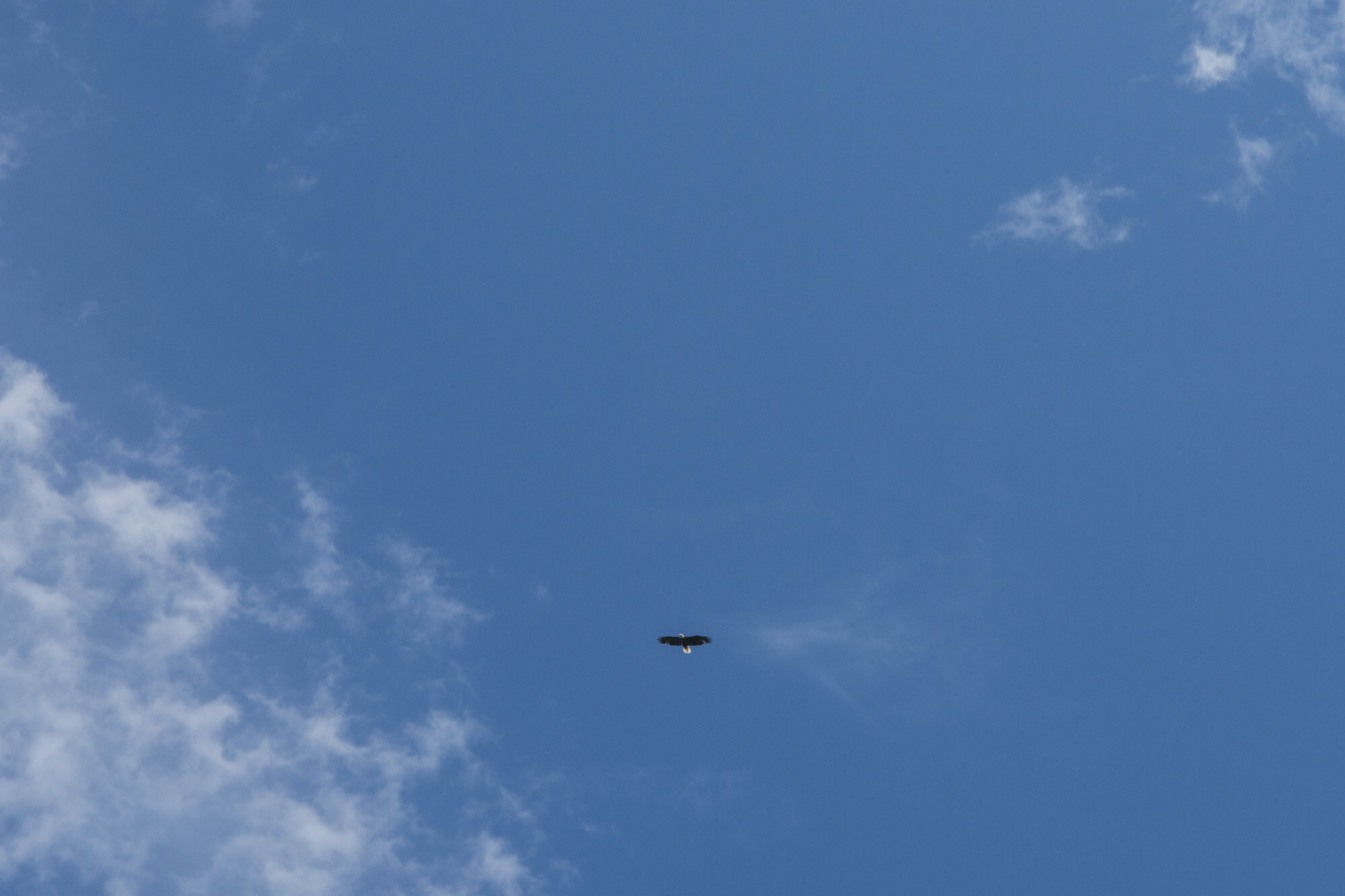
Our last day in Voyageurs saw us (ok, me) getting up with the sun. I crawled out of the tent and went over to our little bay to watch the sunrise over the peninsula. As I was standing there taking pictures of the sunrise, a beaver went swimming by. I watched as it chugged along, eventually disappearing into one of the small coves that line the shore. Aside from insects, our encounters with wildlife had been few and far between up to this point, this being the second larger animal I’d spotted. It was nice to catch a fairly close up glimpse of one of the larger mammals of the park.
The rest of the morning consisted mostly of breakfast, breaking camp, and one last stroll around the fairy forest. This may have been my favorite site out of the three we stayed at. Once we were all packed up we hopped in the canoe and started making our way back to the Ash River visitor’s center. This would be a 3.5 mile paddle, the second longest of the trip. The weather was perfect and the waters were calm. Only stopping once in a while to take pictures, it was a leisurely paddle back to Ash River. Back on shore, we got the canoe loaded up and dropped off at the rental place. And with that, my trip to Voyageurs National Park was over. After a heartbreaking drive-by and another canceled trip, I was finally able to visit this park that lives and breathes on the waters that flow through it.

360 panorama from the canoe on our way back to Ash River Visitor Center.
If I were to visit here again, I would probably skip the hiking and concentrate on exploring the waters more. There’s not a lot of hiking in Voyageurs and I’ve now done the major trail in the park. Many of the islands have campsites on them and I would love to check those out. I love small islands, but all three of our campsites were on the peninsula. Island hopping around Kabetogama Lake or Rainy Lake for a week would be great, or even paddling up to Kettle Falls Hotel and camping along the way would be splendid. If I don’t make it back, I can finally say I have at least one adventure in the books for Voyageurs National Park.
DAY FOUR PHOTO GALLERY:
A short video from Voyageurs National Park
Other posts in this series:
Everglades National Park, Florida. Keeping My Feet On Not-So-Solid Ground.
Great Sand Dunes National Park, Colorado. An Alien Planet In The Middle Of America.
Gateway Arch National Park, Missouri. Super sketchy, But I Did It.
Dry Tortugas National Park, Florida. Best Birthday Ever.
Theodore Roosevelt National Park, North Dakota. Stuck In A Dangerous Situation.
Great Basin National Park, Nevada. An Unexpected Journey.
White Butte, Highpoint of North Dakota. Really? More Goats?
Mount Katahdin, Highpoint of Maine. If At First you Don't Succeed...
Hawkeye Point, Highpoint of Iowa. So... Much... Corn...
Granite Peak, Highpoint of Montana. I Have Seen The Top Of The Mountain, And It Is Good.
Mount Borah, Highpoint of Idaho. The Great American Eclipse Of 2017.
Tri-Point Of Iowa, Nebraska, And South Dakota. Hot. Damn Hot. Real Hot.
Sassafras Mountain, Highpoint of South Carolina. Please excuse our mess.
Ebright Azimuth, Highpoint of Delaware. Rock bands and space shuttles.
Charles Mound, Highpoint of Illinois. A farmland stroll.
Tri-point of NC, TN, and VA. My car meets its match.
Mount Rogers, Highpoint of Virginia. OH MY GOD!!! LOOK AT ALL THE FUZZY PONIES!!!
Guadalupe Peak, Highpoint of Texas. Birth of an obsession. And big freaking bugs.